
What is recorded here
On a mountain ledge on the western slopes of Knocknaveagh Mountain, with commanding views over a valley to the NE and Bantry Bay to the NW. The monument consists of a large red sandstone slab (H 1.08m; 2.97m x 0.17m), aligned N-S, rectangular in section, which tilts to the WNW, with the SSE end touching the ground. This stone is held up by two other sandstone stones (H 0.69m; 1.58m x 0.12m and H 0.51m; 1.29m x 0.2m) which tilt to the WNW and NW respectively. Another blue sandstone upright (H 0.31m; 0.7m x 0.08m) is W of and parallel to the S end of the large tilting upright. A prostrate stone (1.83m x 0.75m; T 0.09m), rectangular in section, lies immediately W of this arrangement, with another stone (1.48m x 0.32m; T 0.07m) below it. Six other large prostrate stones (ranging from 0.63-1.63m x 0.84-1.3m; T 0.06-0.2m) lie c. 1-2m to the SE and NE of the large upright slab. There is a possible wedge tomb (CO118-039----) c. 150m to the S and a standing stone (CO118-041----) 200m to the NE.
The above description is derived from 'The Archaeological Inventory of County Cork. Volume 5' (Dublin: Stationery Office, 2009).
Date of upload: 22 December 2009
The monument record does not grant public access. Check the route and ask the landowner before entering private land.
- What survives
- Recorded monument
Places near here
 Wedge tomb in Derreengreanagh,scartbaunWedge tomb · 168 yd
 Seskin ViewViewpoint · 1328 yd
 Killean Burial GroundBurial ground · 1382 yd
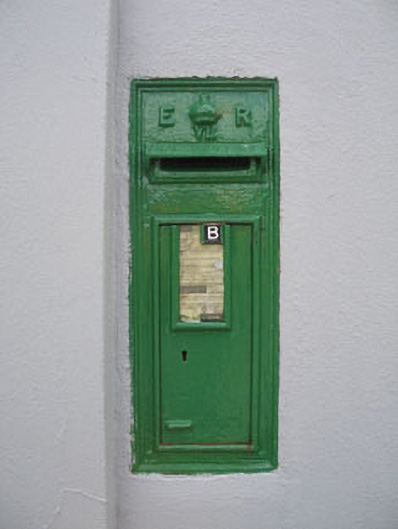 post boxpost box · 1493 yd
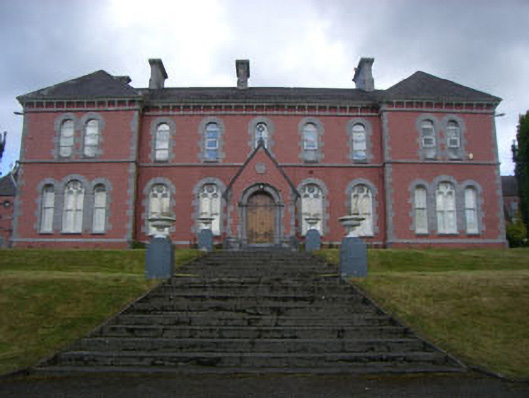 Convent of Mercyconvent/nunnery · 1498 yd
 Graveyard in TownlotsGraveyard · 1.0 mi
 Tourist OfficeVisitor information · 1.1 mi
 Statue of Wolfe ToneMemorial · 1.2 mi
 Trawlebane WalkWalking route · 1.3 mi
 Baugorm Castle (Site of)Castle, unclassified · 1.3 mi
 Scart Castle (Site of)Castle, unclassified · 1.5 mi
 Bantry HouseHeritage attraction · 1.6 mi
Other information
Photo: Credit not shown in the picture search · Rights wording not checked; contact us if this picture should be removed