What is recorded here
Annaghbride Castle belonged to Therle Claricard in 1574, anchoring a small cluster of houses amid gently undulating Galway farmland. By 1837 it still cast a rectangular shadow twenty-five metres long, but time erased even its ruins before 1933. The land keeps no stone marker, only the faint memory of a border marker swallowed by fields.
In a house cluster in gently undulating farmland. In existence in 1574 when it was in the possession of 'Therle
Claricard' (Nolan 1901, 111). Indicated on 1837 edition of the OS 6-inch map as a roughly rectangular structure (c. 25m NNW-SSE, c. 9m ENE-WSW) with a small extension to the E at its N end. Described in the OS Letters (O'Flanagan 1927, Vol. 1, 497) as the 'ruins of an old castle'. Evidently removed by time of 1933 edition of the map when the words 'Site of' are appended. No visible surface trace survives.
Compiled by: Galway Archaeological Survey, UCG
Date of upload: 17 August 2021
Annaghbride Castle was held by Therle Claricard in 1574 and appears on the 1837 Ordnance Survey map as a roughly rectangular structure. Its presence in historical records and cartographic surveys highlights its role as a local stronghold in the late 16th century.
The monument record does not grant public access. Check the route and ask the landowner before entering private land.
- What survives
- Recorded monument
Places near here
 Laghtsidura or Soldiers GraveLeacht cuimhne · 707 yd
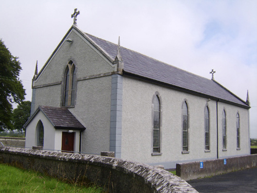 Saint Jarlath's Catholic Churchchurch/chapel · 904 yd
 Kilcooly Castle (in ruins)Castle, tower house · 1416 yd
 Old R.C. Chapel (in ruins)Chapel · 1502 yd
 Enclosure in Clogharoasty,kilcoolyEnclosure · 1.0 mi
 Ballynamantragh CastleCastle, unclassified · 1.3 mi
 Dartfield Horse MuseumHeritage attraction · 2.5 mi
 Stone Islands SouthIslet · 3.8 mi
 Long PointHeadland · 3.8 mi
 Island McCooIslet · 4.0 mi
 Quarryhill WoodWood · 5.4 mi
 Turoe StoneHeritage attraction · 5.9 mi