
What is recorded here
An tOileán Rua is recorded as a islet in County Galway. Its open map record supplies this location and any linked names or public references.
An tOileán Rua is a small islet located off the coast of County Galway, historically associated with the Irish-speaking population of the western seaboard. It is notable for its inclusion in traditional place-name records, reflecting the linguistic and cultural heritage of the region.
Places near here
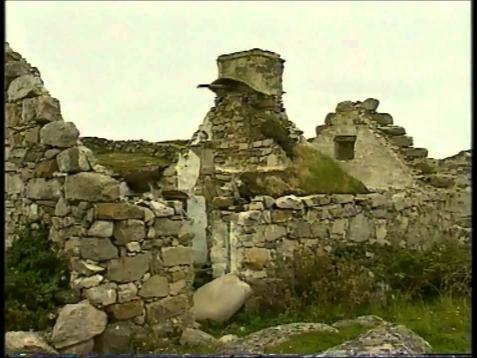 Inis BearachainIsland · 1058 yd
 Inse an GhainimhIslet · 1122 yd
 Holy well in Leitir CalaidhHoly well · 1578 yd
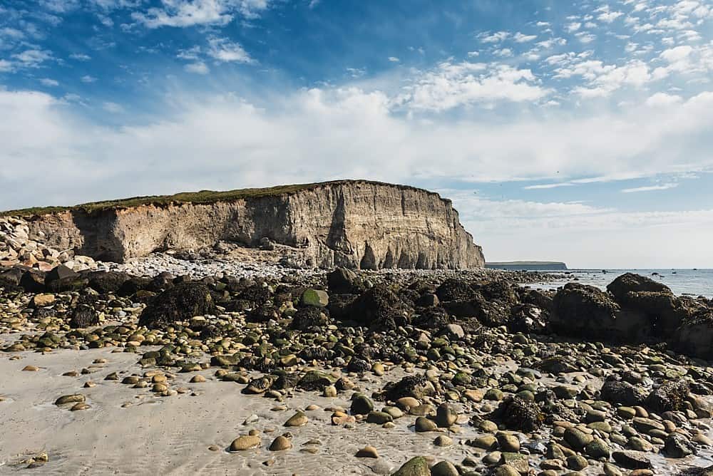 Trá na hAille MóireBeach / strand · 1.3 mi
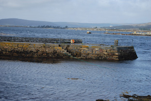 quay/wharfquay/wharf · 1.6 mi
 Cora na gCúgHeadland · 1.9 mi
 Cnoc Leitir MóirMountain / peak · 2.0 mi
 Holy well in Cill ChiaráinHoly well · 2.2 mi
 Droichead Charraig an Logáin [Carrickalegaun Bridge]bridge · 2.2 mi
 Cora na hAirde MóireHeadland · 2.6 mi
 Cnoc FionnMountain / peak · 2.9 mi
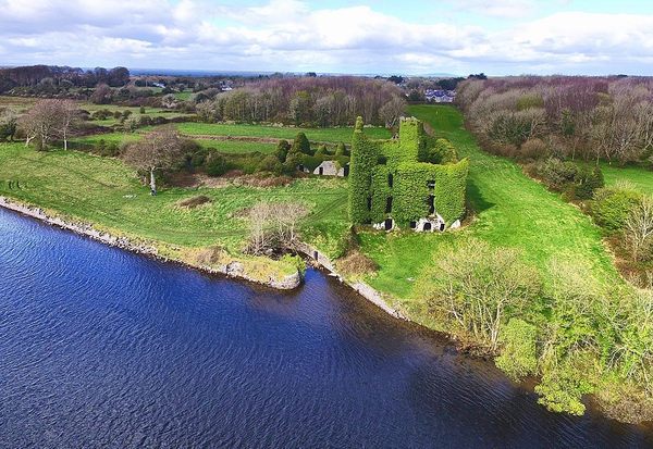 Castle (in ruins)Castle, unclassified · 3.2 mi
Other information
Photo: Credit not shown in the picture search · Rights wording not checked; contact us if this picture should be removed