What is recorded here
An Srón Liath is recorded as a headland in County Kerry. Its open map record supplies this location and any linked names or public references.
An Srón Liath is a basaltic sea cliff formed during the Paleogene period, approximately 60 to 50 million years ago, through volcanic activity associated with the opening of the North Atlantic. It is notable for its resistant columnar basalt formations, typical of the region's Cenozoic igneous activity.
Places near here
 Dermot & Grania's BedArchaeological place · 80 yd
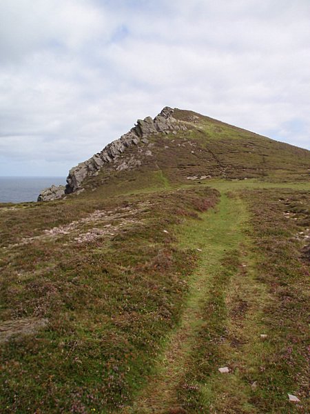 Binn DiarmadaMountain / peak · 242 yd
 Faill na MúCliff · 316 yd
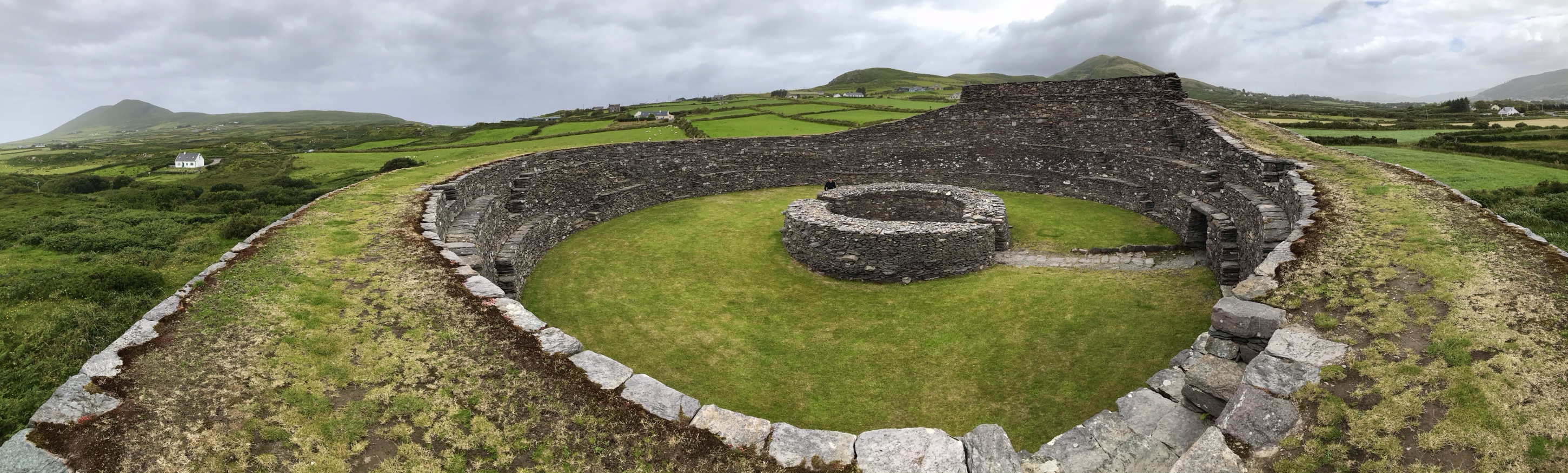 Fairy fort / stone ringfort in Ard Na CaithneFairy fort / stone ringfort · 1032 yd
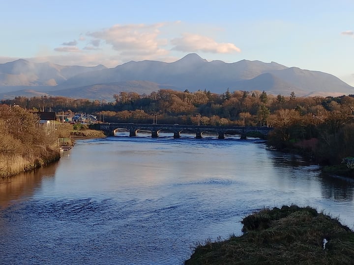 Binn MheánaighMountain / peak · 1343 yd
 An SliosCliff · 1530 yd
 Dunanoir FortVisitor information · 1.3 mi
 Tráigh Bhéal BánBeach / strand · 1.8 mi
 Trá an FhíonaBeach / strand · 2.3 mi
 Séipéal Bhréanainn [Saint Brendan's Catholic Church]church/chapel · 2.3 mi
 Ballydavid Signal TowerRuins · 2.5 mi
 Músaem Chorca DhuibhneMuseum · 2.9 mi