What is recorded here
An Machaire is a stone ringfort perched on a Donegal knoll above Loughros Beg Bay, its wall still standing two metres high where the cliff slope did not need building. Someone later blocked the southern entrance with a rectangular stone structure, sealing the fort like a room after an argument. The cliff wind still moves through the gap between stones, carrying the shape of whatever lived there before the wall fell.
Internal Diam 23.5m N-S. A subcircular area enclosed by a partially collapsed stone wall except on the N and NE sides where the natural slope may have precluded the need for a wall. The wall survives up to 2.38m in height to the SW. There is a definite entrance to the SSW. This entrance has been deliberately blocked by the building of a rectangular structure (DG073-031002-) 2.4m E-W × 1.5m N-S. The site is located on top of a knoll in an exposed but naturally defended position. There is pasture and arable land nearby and Loughros Beg Bay is to the N.
The above description was derived from the 'Archaeological Survey of County Donegal. A description of the field antiquities of the County from the Mesolithic Period to the 17th century.' Compiled by: Brian Lacey with Eamon Cody, Claire Cotter, Judy Cuppage, Noel Dunne, Vincent Hurley, Celie O'Rahilly, Paul Walsh and Seán Ó Nualláin (Lifford: Donegal County Council, 1983). In certain instances the entries have been revised and updated.
Date of upload: 22 September 2008
The monument record does not grant public access. Check the route and ask the landowner before entering private land.
- What survives
- Recorded monument
Places near here
 Maghera CavesSea caves · 581 yd
 Maghera StrandBeach / strand · 1283 yd
 Maghera WaterfallWaterfall · 1506 yd
 Assaranca Waterfallwaterfall · 1519 yd
 Cloghboy Stone RingfortFairy fort / stone ringfort · 1.4 mi
 O'Boyle's Fort at StonebrookNamed fort remains · 1.7 mi
 IllancreeveIslet · 1.7 mi
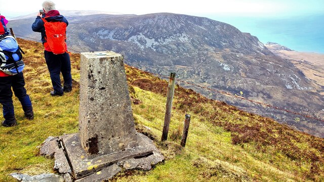 Sliabh TuaidhMountain / peak · 1.8 mi
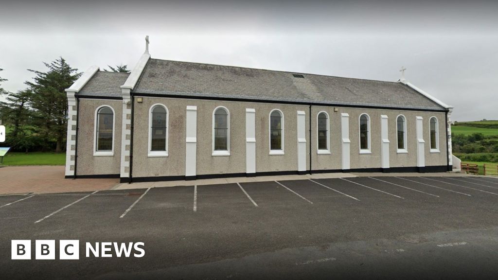 Church in KilcashelChurch · 2.7 mi
 outbuildingoutbuilding · 2.9 mi
 Carrickalahagh HeadlandPublicly named cliff or headland · 3.1 mi
 Tramore StrandBeach / strand · 3.2 mi