What is recorded here
An Ceann Dubh is recorded as a headland in County Kerry. Its open map record supplies this location and any linked names or public references.
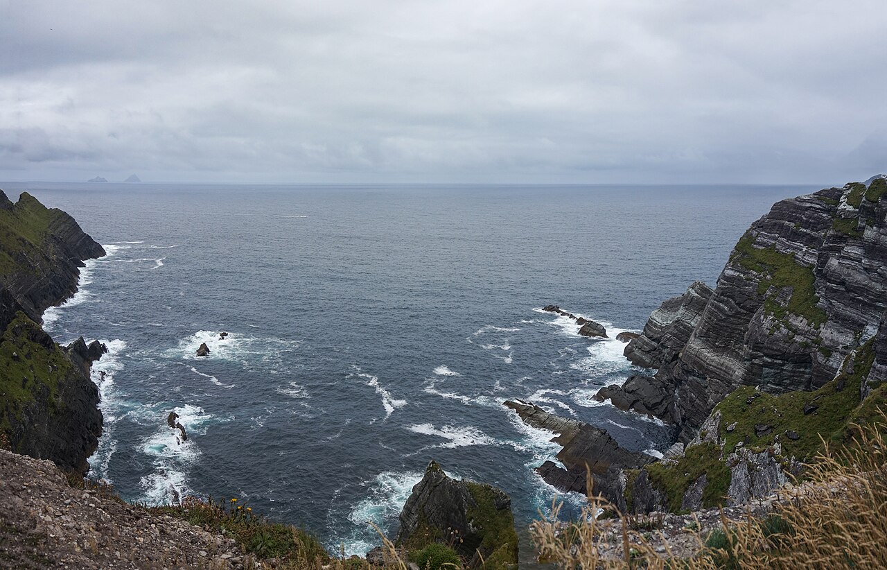
An Ceann Dubh is a basaltic sea cliff formed during the Paleogene period, approximately 60 to 50 million years ago, as a result of volcanic activity associated with the opening of the North Atlantic. It is notable for its dark, columnar basalt formations typical of the Kerry Basalt Province, reflecting ancient lava flows that shaped the region’s dramatic coastal landscape.
Places near here
 LéimeHeadland · 228 yd
 Cuas Thaidhg MheirgeachBay · 244 yd
 Oileán na gCánógIslet · 820 yd
 CruachMountain / peak · 851 yd
 Bluecave RockIslet · 1074 yd
 Enclosure in Oileán Na GcánógEnclosure · 1382 yd
 Promontory fortPromontory fort, coastal · 1.2 mi
 Tráigh na SplinceBeach / strand · 1.9 mi
 BallynablounMountain / peak · 2.2 mi
 Teampall a' Chaisil/Temple CashelRuins · 2.3 mi
 Tobairin Holy WellSpring · 2.5 mi
 Kerry CliffsHeritage attraction · 2.8 mi