What is recorded here
This feature is listed as a 'dolmen' by Borlase (1897) and later as a 'prehistoric chamber tomb' (Killanin and Duignan 1962; 1967). All trace of it had been removed by 1904 (OS 1:2,500 Name Book). Although there is no information about the nature of the site, there can be little doubt that this, like most other sites so named on the OS 6-inch maps of County Donegal, was a Penal altar.
Borlase 1897, 236, Raphoe South no. 3; OS 1:2,500 Name Book, sheet 68 (1904), 24; Killanin and Duignan 1962, 81; Killanin and Duignan 1967, 92.
The above description was published in the 'Survey of the Megalithic Tombs of Ireland. Volume VI, County Donegal.' Compiled by: Eamon Cody (Dublin: Stationery Office, 2002).
Date of upload: 22 September 2008
The monument record does not grant public access. Check the route and ask the landowner before entering private land.
- What survives
- Recorded monument
Places near here
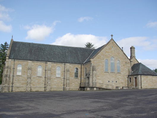 Our Lady of Perpetual Helpchurch/chapel · 68 yd
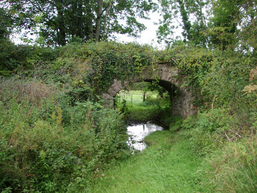 bridgebridge · 213 yd
 IndicatedFairy fort / ringfort · 462 yd
 AltnapasteMountain / peak · 1641 yd
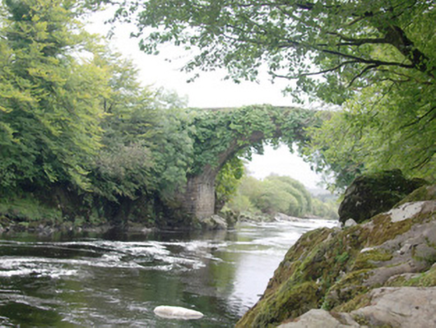 Altar (Site of)Penal Mass station · 1.1 mi
 Gorey HillMountain / peak · 2.1 mi
 Drumboe WoodForest recreation place · 5.7 mi
 Newmills Corn and Flax MillsHeritage attraction · 8.5 mi
 Bawn in Killynure OR Wilsons FortBawn · 8.7 mi
 Site of Castle SollusCastle, unclassified · 8.9 mi
 Battle of Scarrifholisbattle · 8.9 mi
 Ard na Mona WoodOfficial walking route · 9.6 mi