What is recorded here
On Inishshark. In a brief note Kinahan (1868, 348) recorded that 'according to the Ordnance Map, there ought to be a church [GA009D002----], a cloghaun [GA009D005001-], and cromlech' on the island. The 'cromlech' was 'broken down, and could scarcely be recognised' but enough remained to for him to believe it was 'a real 'cromlech' [i.e. altar]'. He believed it could not have been a 'foslech', a term he used to describe a magalithic tomb, or a 'flag dwelling-house' because of the lack 'earth and stones near it'. He also did not believe it was a 'kistvaen' or cist tomb. It is not exactly clear to what Kinehan is referring to here. On a site visit in August 1984 much of the island was field walked but nothing of an altar-like appearance or megalithic significance were noted. No megalithic tombs are marked on the OS 6-inch map but a sea inlet on the NE side of the island is named 'Ooghnacromlech' (see GA009D012----).
Compiled by: Olive Alcock
Date of upload: 14 April 2023
The monument record does not grant public access. Check the route and ask the landowner before entering private land.
- What survives
- Recorded monument
Places near here
 InishsharkIsland · 25 yd
 IndicatedPromontory fort, coastal · 515 yd
 MonumentsLeacht · 1049 yd
 St. Leos Chapel (in Ruins)Church · 1113 yd
 Dun Mor CliffsCliff · 1.2 mi
 CarrickmoreIslet · 1.3 mi
 PollatlooaCave · 2.1 mi
 West Quarter BeachBeach / strand · 2.1 mi
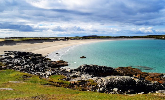 North BeachBeach / strand · 2.2 mi
 Inishbofin Signal TowerRuins · 2.5 mi
 Barrack PointHeadland · 2.7 mi
 InishbofinIsland · 2.8 mi