
What is recorded here
Corner-sited, attached multi-bay two-storey rendered bank, built c. 1910. Splayed corner entrance, two-bay west elevation with lower two-bay extension c. 1970, six-bay north elevation. Pitched slate roof hipped at corner, clay ridge tiles, painted smooth-rendered corbelled chimneystack, moulded cast-iron gutters on eaves corbel course. Painted smooth-rendered walling, smooth-rendered channel-jointed quoins. Square-headed window openings, painted masonry sills, moulded architraves with roundels at corners of most windows, round-headed beaded pilasters on plinth blocks flanking windows to banking hall, painted one-over-one timber sash windows, some paired. Square-headed door opening, round-headed beaded moulded pilasters on plinth blocks flanking entrance, plain frieze over, plain-glazed overlight, painted timber double doors each with five raised-and-fielded panels. Moulded render sign fascia wrapping around corner and extending over banking hall windows, plain frieze, moulded cornice raised to form segmental pediment over entrance, terminating in paired consoles capped by triangular miniature pediments. Street fronted on incline, lower two-storey building to east, high smooth-rendered boundary wall to south.
This prominent bank premises, sited on a corner of the town's main square, is a good example of a bank building dating from the early years of the twentieth century. It has good render detailing including particularly interesting treatment of window architraves. Original sash windows survive. The building makes a positive contribution to the townscape in terms of form and massing.
This does not grant access. Most recorded buildings are privately owned; view them only from public ground unless the owner allows entry.
Places near here
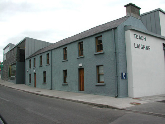 Teach Laighnehouse · 145 yd
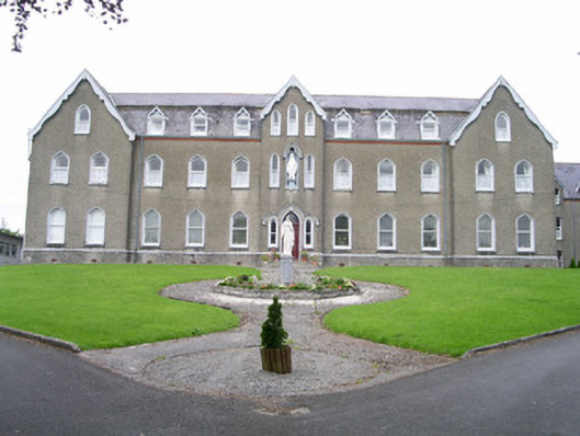 Saint Joseph's Conventconvent/nunnery · 157 yd
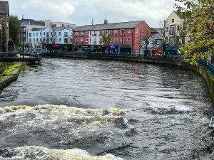 IndicatedFairy fort / stone ringfort · 796 yd
 Enclosure in OghambaunEnclosure · 1344 yd
 Ballyara Castle (in Ruins)Castle, unclassified · 1.3 mi
 CastleCastle, unclassified · 1.9 mi
 Muckelty HillMountain / peak · 2.3 mi
 Tawnyart WoodWood · 4.7 mi
 Old Cave Burial GroundArchaeological place · 4.8 mi
 Tymon's HillMountain / peak · 4.9 mi
 New WoodWood · 5.1 mi
 Lough Talt TrailVisitor information · 7.9 mi
Other information
Photo: Oliver Dixon · CC BY-SA 2.0