What is recorded here
Listed in the SMR (1992) and RMP (1998) as a dwelling. Field inspection established that there are no surface remains of any dwelling in the area marked on OS 6-inch map as 'Aghnameadle Court (in Ruins)'. 'Aghnameadle Court (in Ruins)' appears to be a large house on the 1st (1840) ed. OS 6-inch map but this is has decreased in size on the 2nd ed. OS 6-inch map. It was located to the E of the tower house (TN022-035001). A demesne wall to the E of the tower house probably replaced an earlier bawn wall.
Compiled by: Jean Farrelly and Caimin O'Brien
Date of upload/revision: 22 September 2008
The monument record does not grant public access. Check the route and ask the landowner before entering private land.
- What survives
- Recorded monument
Places near here
 Aghnameadle CastleCastle · 8 yd
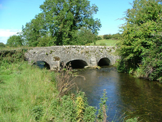 Aghnameadle Bridgebridge · 209 yd
 Aghnameadle Church (in Ruins)Church · 248 yd
 Enclosure in AghnameadleEnclosure · 423 yd
 Megalithic structure in AghnameadleMegalithic structure · 1053 yd
 CastleCastle, motte · 1512 yd
 Kyleroe WoodWood · 1.7 mi
 BenduffMountain / peak · 2.4 mi
 Borrisnoe MountainMountain / peak · 2.5 mi
 Longford WoodForest · 5.1 mi
 Thomas MacDonagh Heritage CentreMuseum · 7.1 mi
 MacDonagh HouseMemorial · 7.1 mi