What is recorded here
Aghacrew Church (in Ruins) is a graveyard in Glebe (Aghacrew parish), County Tipperary, Ireland. The church stood in the extreme northwest angle of the graveyard, but it has long since disappeared and no visible surface remains now mark its site. Low earthen mounds still outline the enclosed graveyard on the elevated pasture overlooking the Multeen River to the north and east. Two small upright stones survive among the old graves, while white thorn trees grow where the church once stood.
On flat elevated pasture overlooking Multeen River to the N and E in upland river valley. No visible surface remains of church (TS051-017001-) which according to current landowner was bulldozed in the 1960s. Only two small upright stones survive indicating possible remains of graveyard which was also bulldozed at the time. There are the elevated earthen mounds which indicate an enclosed graveyard, but there are no signs of burials' (White 1892, 60). Seymour (1916, 145-6) described the monument as consisting of a 'graveyard marked out by low mounds. The church stood in the extreme north-west angle of this'. The OS Letters describe how the 'old church of this parish has long since disappeared and its graveyard is now deserted. Its site is marked by some white thorn trees and some old graves but no headstones or monuments of any kind.' (O'Flanagan 1930, vol. 1, 102).
Compiled by: Jean Farrelly
Date of upload: 26 August 2011
The monument record does not grant public access. Check the route and ask the landowner before entering private land.
- What survives
- Recorded monument
Places near here
 Aghacrew Church (in ruins)Church · 25 yd
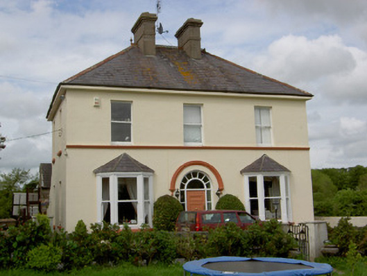 Glenview Househouse · 45 yd
 IndicatedEnclosure · 742 yd
 CastleCastle, unclassified · 1136 yd
 Green Field ParkWood · 1468 yd
 Ballysheeda Castle (in Ruins)Castle, tower house · 1626 yd
 Enclosure in Ballysheeda (donohill Par.)Enclosure · 1.1 mi
 Maudemount BogWood · 2.3 mi
 Soloheadbeg Ambushambush · 3.5 mi
 Soloheadbeg Ambush SiteMemorial · 4.1 mi
 GortnageraghMountain / peak · 5.1 mi
 LackenacreenaMountain / peak · 5.4 mi