What is recorded here
Achilles: River Clyde is a steamship in West Dunbartonshire, Scotland.
Places near here
Photo credits
- Maker not stated on source page, dumbartonriverside.org.uk
- Lairich Rig, Wikimedia Commons · CC BY-SA 2.0
- Eddie Mackinnon, Wikimedia Commons · CC BY-SA 2.0
- David Dixon, Wikimedia Commons · CC BY-SA 2.0
- Barbara Carr, Wikimedia Commons · CC BY-SA 2.0
- Maker not stated on source page, www.lonelyplanet.com
- Stephen Sweeney, Wikimedia Commons · CC BY-SA 2.0
 Dumbarton, Hawthornhill Road, Dalreoch United Free ChurchChurch (20th Century) · 238 yd
 Dumbarton, Cardross Road, the Church of Jesus Christ of Latter-day SaintsChurch (20th Century) · 262 yd
 Dumbarton, Cardross Road, Convent of Notre Dame, ChapelChapel (20th Century) · 485 yd
 Cunninghame Graham Memorial ParkPark · 522 yd
 Dumbarton, Cardross RoadEnclosure (prehistoric), Palisaded Enclosure (prehistoric), Pit(s) (prehistoric) (possible), Post Hole(s) (prehistoric) (possible), Ring Ditch (prehistoric) · 529 yd
 Ardoch Sewage Treatment WorksSewage Works (21st Century) · 730 yd
 Dumbarton, Cardross Road, St Michael's Roman Catholic ChurchChurch (20th Century) · 881 yd
 Perrays WoodWood · 918 yd
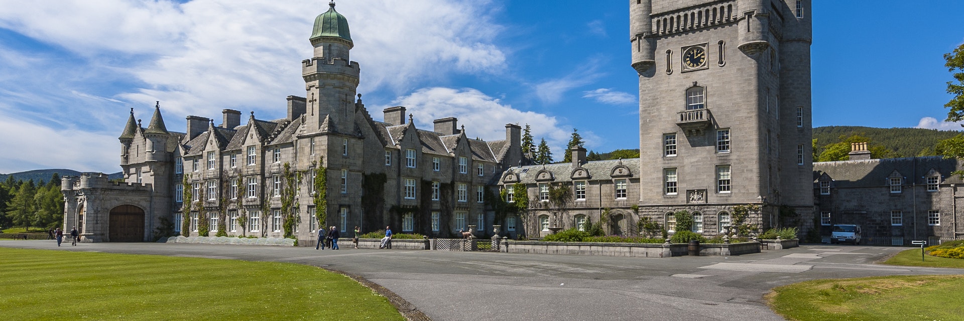 Dalmoak CastleCastle · 1218 yd
 Dumbarton, High StreetNo Class (event) · 1704 yd
 Strathleven, Suds PondNo Class (event) · 1.1 mi
 War MemorialMemorial · 1.1 mi
More wrecks and historic events in West Dunbartonshire · All of West Dunbartonshire

What do you know about this place?Tap to add a comment or ask a question