What is recorded here
On flat terrain in river valley of Suir, low-lying. In the 17th century there were two mills in 'Abyneslewnaght' on the land of 'Patricke Goegh of Kilmaniheen in the County of Waterford Esqr Irish Papist' (Simington 1931, vol. 1, 307). On this land 'stands the walls of an old Aby, one grist mill and one tuckinge Mill, both lately rebuilt by Thomas Batty of Clonmell Esqr' (ibid.). Abyneslewnaght has been identified with Inishlounaght townland and 200m SW of the site of the abbey, just within Marlfield townland, there was a mill marked 'Abbey Mill' on the 1st (1840-41) ed. OS 6-inch map. There is no mill marked on 1950-51 OS revision and the mill has been demolished. However, there are the remains of a wall with lime render which was probably part of the mill complex and which now acts as a field boundary. A fast flowing channelised mill race also survives.
Compiled by: Jean Farrelly
Date of upload: 26 August 2011
The monument record does not grant public access. Check the route and ask the landowner before entering private land.
- What survives
- Recorded monument
Places near here
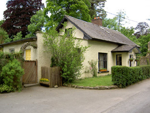 Church Lodgegate lodge · 123 yd
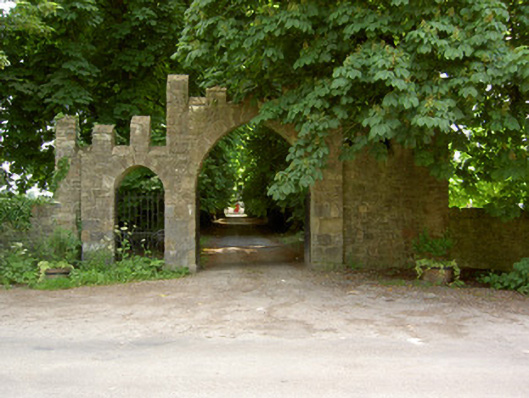 Saint Patrick's Church (Inishlounaght)gates/railings/walls · 149 yd
 Crusader's GraveHeritage attraction · 243 yd
 Common LimeCommon Lime · 508 yd
 European ashEuropean ash · 784 yd
 Kilmacomma HillMountain / peak · 1189 yd
 LiscamnaboHilltop enclosure · 1227 yd
 Greenan MoteEnclosure · 1299 yd
 Greenan Castle (in Ruins)House, fortified house · 1314 yd
 CastleCastle, ringwork · 1753 yd
 Toberaheena WellSpring · 1.0 mi
 Carey's Castle WoodsVisitor information · 1.5 mi