What is recorded here
The official Northern Ireland record identifies this as A.P. SITE - possible barrow. Recorded period: UNCERTAIN. The official map point was placed at the centre of the recorded archaeological site from the source map reference.
The monument record does not grant public access. Check the route and ask the landowner before entering private land.
- What survives
- Recorded monument
Places near here
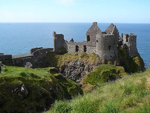 Dunluce CastleHeritage attraction · 1205 yd
 Mermaid CaveCave · 1224 yd
 MULTI-PERIOD CASTLEMULTI-PERIOD CASTLE, C15th-POST-MEDIEVAL, with ROCK-CUT Man-made underground passage: DUNLUCE CASTLE · 1228 yd
 Promontory Fort in MagheracrossPromontory Fort · 1380 yd
 Enclosure/Rath in DunluceEnclosure/Rath · 1390 yd
 C18TH HOUSE on site of C17TH CASTLE in BallymagarryC18TH HOUSE on site of C17TH CASTLE · 1448 yd
 White RocksVisitor information · 1.5 mi
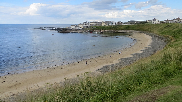 Portballintrae BeachBeach / strand · 1.5 mi
 Dunluce Presbyterian ChurchChurch · 1.9 mi
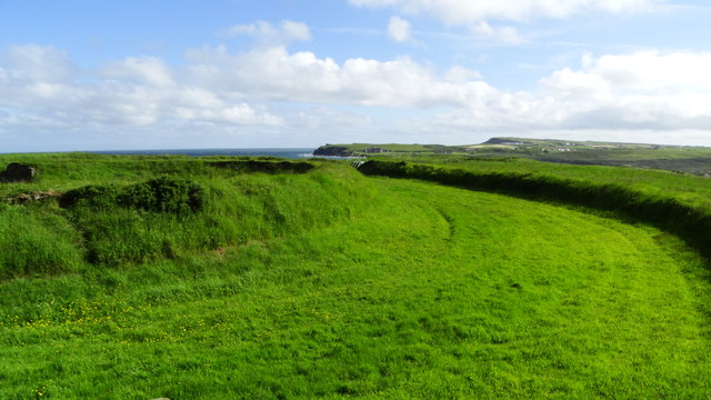 Lissanduff EarthworksNature reserve · 1.9 mi
 Runkerry BeachVisitor information · 2.0 mi
 Post OfficeShop · 2.0 mi