What is recorded here
The official Northern Ireland record identifies this as A.P. SITE. Recorded period: UNCERTAIN. The official map point was placed at the centre of the recorded archaeological site from the source map reference.
The monument record does not grant public access. Check the route and ask the landowner before entering private land.
- What survives
- Recorded monument
Places near here
 Curraghard SummitViewpoint · 566 yd
 CurraghardMountain / peak · 827 yd
 DrinnahillyMountain / peak · 1253 yd
 Ivy BridgeBridge · 1256 yd
 Tollymore Forest - The Drinns TrailWalking route · 1272 yd
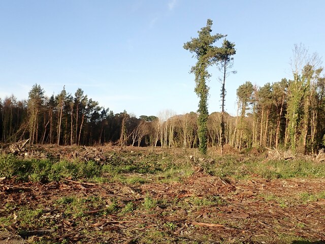 Tipperary WoodsForest · 1351 yd
 Foley's BridgeBridge · 1469 yd
 Tollymore Forest Park EntranceNature reserve · 1731 yd
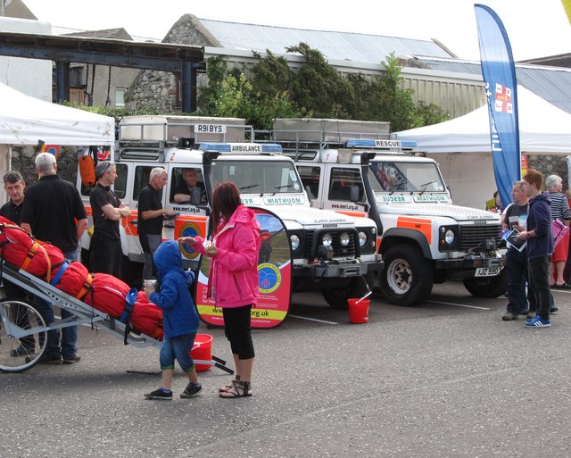 Donard Car ParkVisitor information · 1.1 mi
 CASTLE (destroyed) in Murlough UpperCASTLE (destroyed) · 1.2 mi
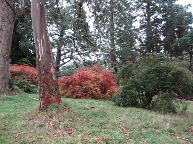 Tollymore Forest - Arboretum PathWalking route · 1.2 mi
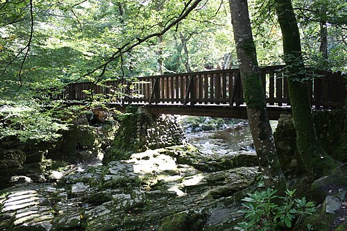 Tollymore ForestForest · 1.3 mi