What is recorded here
Situated in an undulating landscape with rough pasture. This is a N-S fosse (Wth 2.8m; D 0.4m) with an earthen bank (Wth 3m) intermittently visible at the W side (L c. 250m). It is absent from a flat-bottomed valley immediately to the S for c. 300m but continues beyond that (LE005-009---), and it is continued c. 1km to the NNW (LE005-005---).
The above description is derived from 'The Archaeological Inventory of County Leitrim' compiled by Michael J. Moore (Dublin: Stationery Office, 2003). In certain instances the entries have been revised and updated in the light of recent research.
Date of upload: 23 September 2008
The monument record does not grant public access. Check the route and ask the landowner before entering private land.
- What survives
- Recorded monument
Places near here
 IndicatedFairy fort / stone ringfort · 1.2 mi
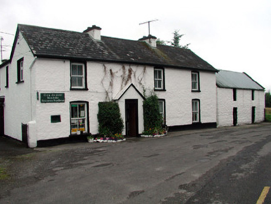 Rossinver Post Officehouse · 1.4 mi
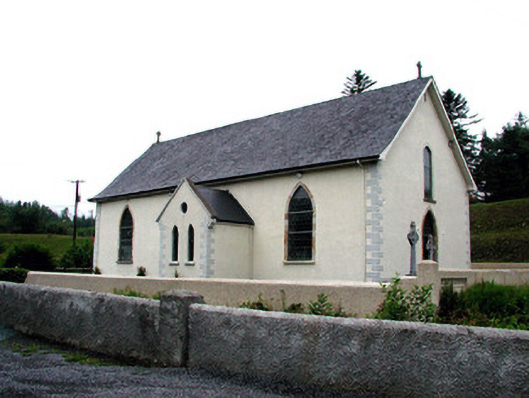 Saint Aidan's Catholic Churchchurch/chapel · 1.4 mi
 MONASTIC SITE WITH CROSS-SHAFT & BASE: KILCOO in FrevaghMONASTIC SITE WITH CROSS-SHAFT & BASE: KILCOO · 1.5 mi
 Ross PointHeadland · 2.0 mi
 Fowley's FallsPicnic place · 2.4 mi
 Giant's GraveArchaeological place · 2.7 mi
 Saddle HillMountain / peak · 3.1 mi
 Bilberry IslandIslet · 3.2 mi
 Sally IslandIslet · 3.2 mi
 Dough MountainMountain / peak · 3.7 mi
 Kilroosk RockNamed rock · 5.0 mi