What is recorded here
The official Northern Ireland record identifies this as Workhouse Burial Grounds. Recorded period: C19TH. The official map point was placed at the centre of the recorded archaeological site from the source map reference.
A 19th-century workhouse burial ground; significant as a reflection of social and welfare history in the region.
The monument record does not grant public access. Check the route and ask the landowner before entering private land.
- What survives
- Recorded monument
Places near here
 Devenish Local Nature ReserveNature reserve · 377 yd
 Cherry IslandIsland · 632 yd
 The Butter MarketMarket · 881 yd
 Railway MuseumMuseum · 888 yd
 C18TH CHURCH with C17th TOWER, & GRAVEYARD: ENNISKILLEN CHURCH in EnniskillenC18TH CHURCH with C17th TOWER, & GRAVEYARD: ENNISKILLEN CHURCH · 895 yd
 St. Macartin's CathedralChurch · 895 yd
 Boer War MemorialMemorial · 977 yd
 The Inniskillings MuseumMuseum · 979 yd
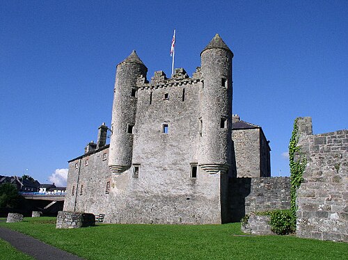
 ENNISKILLEN CASTLE in EnniskillenENNISKILLEN CASTLE · 1018 yd
 Siege of Enniskillensiege · 1062 yd
 Cole's MonumentMonument · 1062 yd
 Remembrance Day bombingbomb attack · 1151 yd