
What is recorded here
J. Rocques 'Actual Survey of the county of Dublin' (1760) map shows 'Raheny windmill' on the south bank of a stream N of Raheny village. There is now a housing estate on site. Not visible at ground level.
Compiled by: Geraldine Stout
Date of upload: 26 August 2011
The monument record does not grant public access. Check the route and ask the landowner before entering private land.
- What survives
- Recorded monument
Places near here
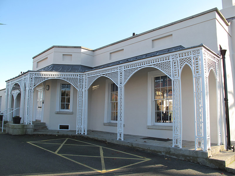 Walmer Villahouse · 73 yd
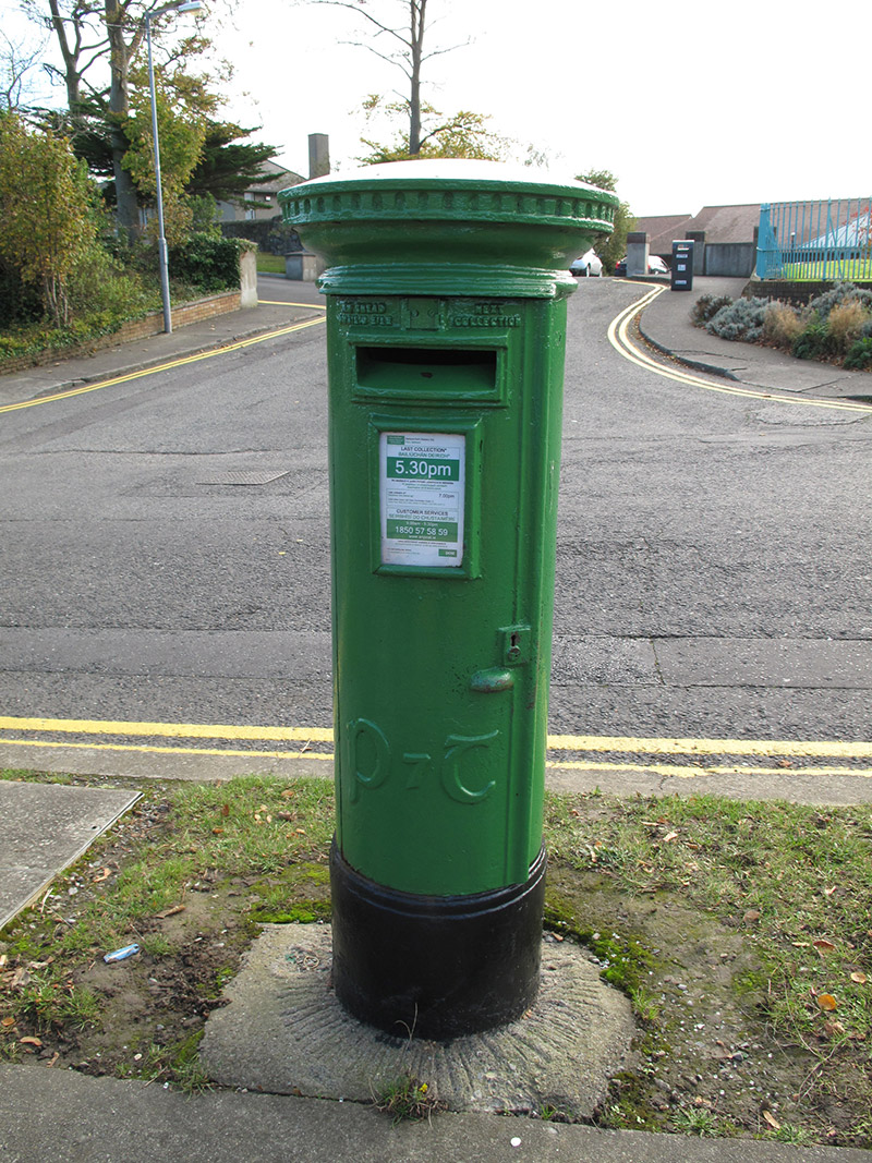 post boxpost box · 214 yd
 Windmill in Unknown TownlandWindmill · 255 yd
 Ecclesiastical enclosure in Unknown TownlandEcclesiastical enclosure · 498 yd
 All Saints Boundary WoodsWood · 1126 yd
 St. Annes WoodsWood · 1421 yd
 Bull Island Nature ReserveVisitor information · 1461 yd
 Hermit's CaveMonument · 1560 yd
 Ayrfied UnitedHeritage attraction · 1623 yd
 Map of Baldoyle Industrial EstateVisitor information · 1.5 mi
 Battle of ClontarfMajor battlefield · 1.6 mi
 Stardust MemorialMemorial · 1.6 mi
Other information
Photo: Credit not shown in the picture search · Rights wording not checked; contact us if this picture should be removed