What is recorded here
Prucklish and Carrickmoyragh still hide the circular tower, conical roof and four sails drawn on the Down Survey maps. It stood on a low rise, turning wind into meal while people watched from nearby fields. The exact spot has been lost, but the shape remains memorable: a small white column catching the sky at the edge of Longford.
A windmill is depicted on Petty's (1685) map of county Longford. It appears to be the same one that is shown on the Down Survey (1655-6) maps of Longford barony and Clongish parish (NLI, MS 719). On the parish map it is depicted as a circular tower, with a conical roof and four sails, standing on a low rise or mound. Its precise location has not been identified. The parish map would suggest it was located in Carrickmoyragh townland but the barony map suggests either Carrickmoyragh or Prucklish townlands (Mimnagh 2010, 384).
Compiled by: Caimin O'Brien
Date of upload: 7 February 2013
The monument record does not grant public access. Check the route and ask the landowner before entering private land.
- What survives
- Recorded monument
Places near here
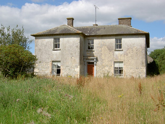 Carrickmoyragh Househouse · 1159 yd
 Castle Forbesdemesne walls/gates/railings · 1350 yd
 Common LimeCommon Lime · 1.4 mi
 Pedunculate OakPedunculate Oak · 1.4 mi
 CastleforbesCastle · 1.5 mi
 Bawn in Castleforbes DemesneBawn · 1.5 mi
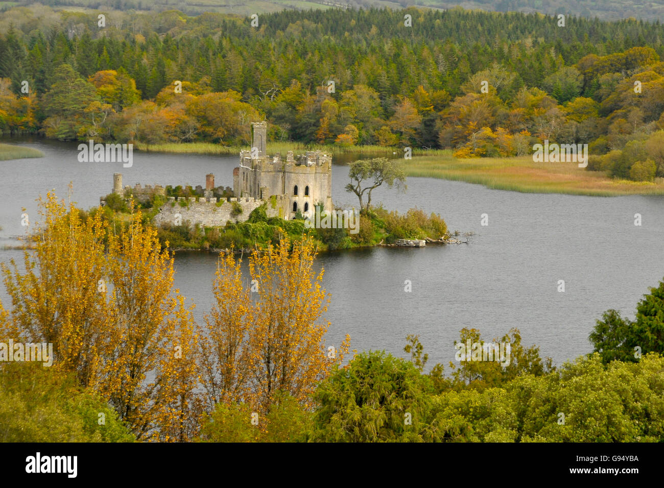 Sallow IslandCrannog · 1.8 mi
 Grave Yard (Disused)Graveyard · 2.0 mi
 Long IslandIslet · 3.2 mi
 St. Barry's WellSpring · 3.2 mi
 Saint Mel's CathedralCathedral · 3.8 mi
 First World War MemorialMemorial · 3.9 mi