What is recorded here
An eighteenth-century mill in County Armagh, recorded under the name WINDMILL (IHR site, stands as a scheduled ruin where wind once turned gear and stone. Its bones still mark the field, preserving the motion that made bread possible before engines took over. The chamber may have echoed with grinding grain, dripping water and human laughter, while the sails cut the sky like a living hand.
The official Northern Ireland record identifies this as WINDMILL (IHR site - c.f. IHR 0695 for details. Recorded period: C19TH. Recorded protection: Scheduled. The official map point was placed at the centre of the recorded archaeological site from the source map reference.
The monument record does not grant public access. Check the route and ask the landowner before entering private land.
- What survives
- Recorded monument
Places near here
 No 5 Vicars' HillMuseum · 394 yd
 Public LibraryLibrary · 411 yd
 MULTIPERIOD CHURCH SITE & GRAVEYARD with ROUND TOWER, BIVALLATE ENCLOSURE & LIBRARY, now CATHEDRAL: CHURCH of the ELECTIONS, ST. PATRICK'S CATHEDRAL in CorporationMULTIPERIOD CHURCH SITE & GRAVEYARD with ROUND TOWER, BIVALLATE ENCLOSURE & LIBRARY, now CATHEDRAL: CHURCH of the ELECTIONS, ST. PATRICK'S CATHEDRAL · 464 yd
 Abbey StreetVisitor information · 472 yd
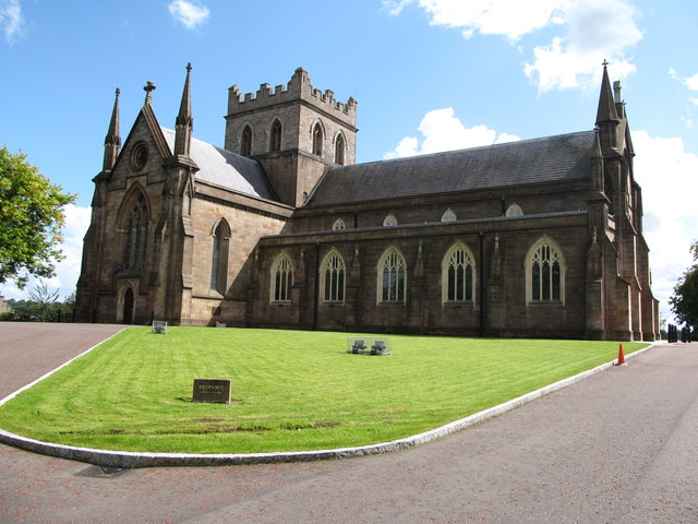 CHURCH: THE TOI; CHURCH OF THE ELECTIONS in ArmaghCHURCH: THE TOI; CHURCH OF THE ELECTIONS · 474 yd
 Battle of ClontibretMajor battlefield · 634 yd
 Mullacreevie ambushambush · 640 yd
 Armagh FriaryArchaeological place · 753 yd
 Boer War memorialMemorial · 846 yd
 Crimean CannonMemorial · 850 yd
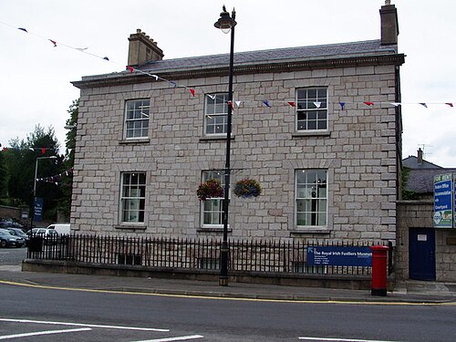 Royal Irish Fusiliers MuseumMuseum · 862 yd
 Cannon HillViewpoint · 3.6 mi