
What is recorded here
Located on the summit of Feltrim Hill as depicted on Rocque's 1760 Map of County Dublin. where it is shown as a circular-shaped tower with conical roof and four wind-sails.. A photograph of the windmill taken around the year 1890, shows the windmill as a tapering tower standing three storeys high with no roof and an old quarry is visible in close proximity to the windmill (NLI, L_ROY_07917). According to Flanagan (1984, 52, 59) this structure was erected originally as a woollen mill by Dutch workers shortly after 1667 using Dutch bricks (1984, 52, 59). It was later converted to a corn mill and operated as such until 1839 when it was also used as a Semaphore Tower transmitting messages from hill to hill as part of a network of hilltop towers transmittin messages between Dublin and Belfast in the early 19th-century (ibid.) Windmill demolished on the 23rd of October in 1973 except for the base. Today substantial remains of the base survive located on a precipice overlooking a modern quarry which surrounds the base of the windmill.
Compiled by: Caimin O'Brien
The monument record does not grant public access. Check the route and ask the landowner before entering private land.
- What survives
- Recorded monument
Places near here
 Lady WellHoly well · 144 yd
 CastleCastle, unclassified · 515 yd
 IndicatedMound · 554 yd
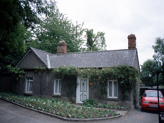 Malahide Castlegate lodge · 1096 yd
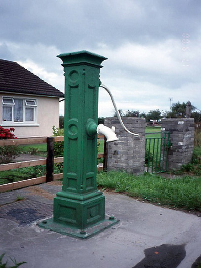 water pumpwater pump · 1111 yd
 Kinsealy CourtMemorial · 1268 yd
 Malahide Castle Demesne Church (Ruin)Ruins · 1.2 mi
 Malahide DemesneVisitor information · 1.4 mi
 St Catherine's WellSpring · 1.6 mi
 Casino Model Railway MuseumMuseum · 1.6 mi
 Airside Retail ParkVisitor information · 1.6 mi
 Black WoodWood · 2.0 mi
Other information
Photo: Credit not shown in the picture search · Rights wording not checked; contact us if this picture should be removed