What is recorded here
The official Northern Ireland wreck record identifies Wild Wave as Motor fishing vessel. It was lost in 2002. Recorded depth: 12.
Wild Wave was a motor fishing vessel lost in 2002 off the coast of Northern Ireland. It sank in 12 metres of water, though details of lives or cargo lost are not recorded.
A wreck point does not grant access or permission to dive, enter land, disturb the site or recover anything. Check current law and local conditions first.
Places near here
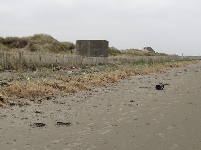 Tyrella BeachBeach / strand · 1.5 mi
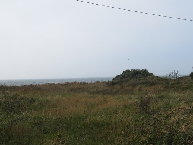 Rossglass BeachBeach / strand · 1.6 mi
 CHURCH (site of): ST. BRIDGET'S in RossglassCHURCH (site of): ST. BRIDGET'S · 1.8 mi
 MEDIEVAL CHURCH: ROSSGLASS (unlocated) in RossglassMEDIEVAL CHURCH: ROSSGLASS (unlocated) · 2.1 mi
 Glebe HouseHouse · 2.3 mi
 AP Cropmark- Possible enclosure or rath in BallyligAP Cropmark- Possible enclosure or rath · 2.4 mi
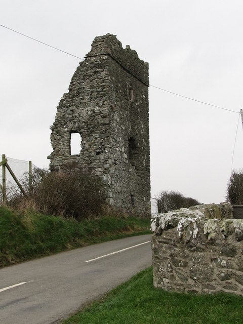 Castle BrightCastle · 2.8 mi
 CASTLE in KilbrideCASTLE · 3.2 mi
 Water Safety Information - Rope Walk KilloughVisitor information · 3.3 mi
 Water Safety Information - Killough Harbour (Castle)Visitor information · 3.4 mi
 Curlew PointHeadland · 3.8 mi
 Ardtole ChurchWalking route · 5.3 mi