What is recorded here
Situated on a gentle S-facing slope. The site of the parish church of Whitechurch Glynn (WX036-021001-) is within a D-shaped graveyard (dims. c. 70m NW-SE; c. 65m NE-SW) that is defined by an earthen bank with external stone-facing and hedge that survives S-NW, a masonry wall at N, the extended graveyard NE-SE and a quarry at S. The graveyard was extended to the E (L c. 40m) in 1997.
Compiled by: Michael Moore
Date of upload: 9 November, 2012
The monument record does not grant public access. Check the route and ask the landowner before entering private land.
- What survives
- Recorded monument
Places near here
 Whitechurch Graveyardgraveyard/cemetery · 8 yd
 IndicatedFairy fort / earthen ringfort · 238 yd
 Lady WellHoly well · 307 yd
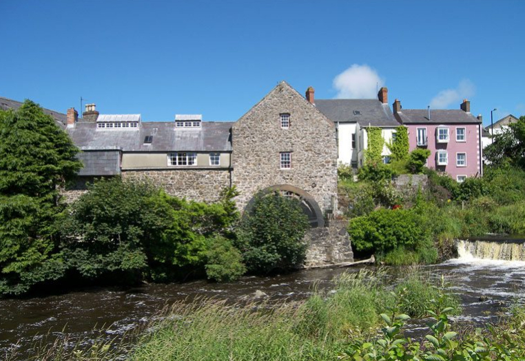 KilnKiln, corn-drying · 1.2 mi
 Celebrating 125 YearsMemorial · 2.9 mi
 Camaross HillMountain / peak · 2.9 mi
 (Site of) Doonoonen CastleCastle, motte · 3.0 mi
 Taghmon CastleCastle · 3.0 mi
 Raheennahoon HillMountain / peak · 3.7 mi
 Glenour MonumentMemorial · 4.1 mi
 Battle Of The Three RocksMemorial · 4.2 mi
 Battle of Three Rocksbattle · 4.5 mi