
What is recorded here
The official Northern Ireland record identifies this as a Grade B2 listed building. Recorded construction date: 1840 - 1859. Current recorded use: Harbour/ Pier.
The official record and map point do not grant access. Many historic buildings are privately owned; view them only from public ground unless the owner allows entry.
Places near here
 St Patrick's Church of IrelandChurch · 1454 yd
 Methodist ChurchChurch · 1469 yd
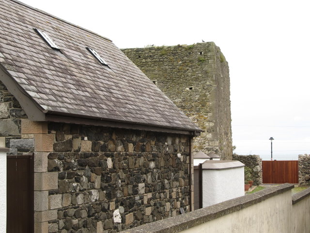 TOWER-HOUSE: CASTLE CHICHESTER in White HeadTOWER-HOUSE: CASTLE CHICHESTER · 1758 yd
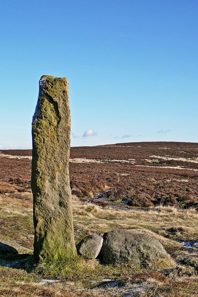 HENGE (?) or HENGIFORM ENCLOSURE (?) (Possible) in DobbslandHENGE (?) or HENGIFORM ENCLOSURE (?) (Possible) · 1.1 mi
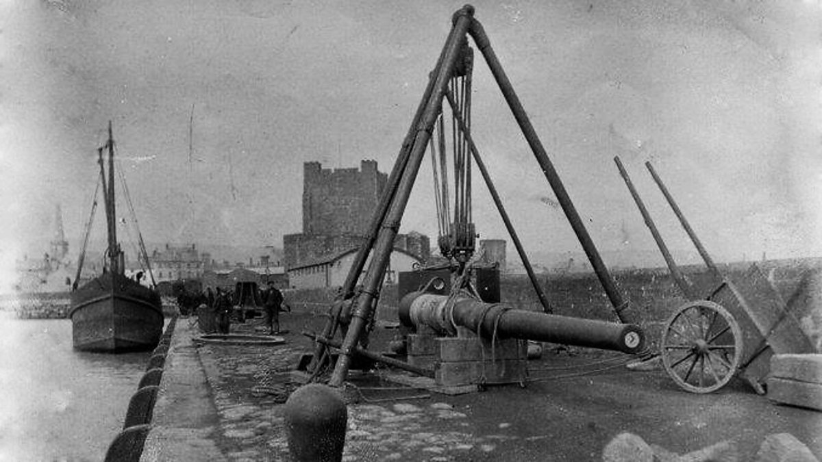 ENCLOSURE in KilrootENCLOSURE · 1.2 mi
 Muldersleigh HillMountain / peak · 2.1 mi
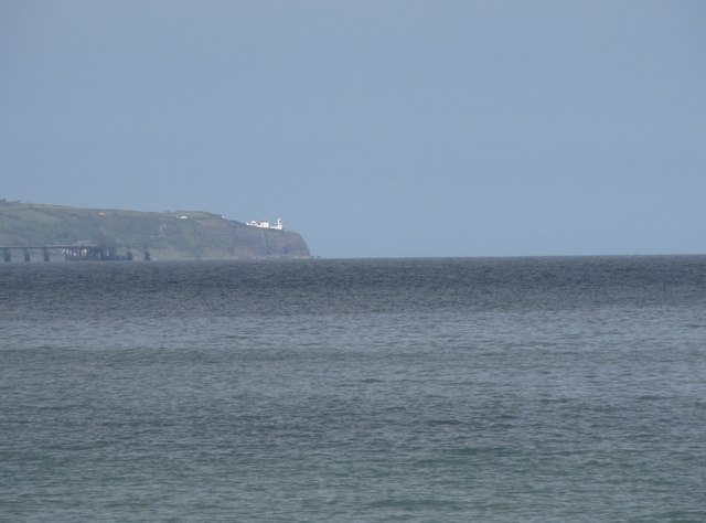 BlackheadHeadland · 2.1 mi
 FORTIFICATIONFORTIFICATION, BAWN · 2.2 mi
 POST-MED CHURCH; MEDIEVAL PARISH CHURCH; GRAVEYARD: TEMPLECORRAN CHURCH or TEMPLE-I-CORRAN or LISLAYNAN in Forthill (ballycarry)POST-MED CHURCH; MEDIEVAL PARISH CHURCH; GRAVEYARD: TEMPLECORRAN CHURCH or TEMPLE-I-CORRAN or LISLAYNAN · 2.3 mi
 Andrew Jackson Cottage and US Rangers CentreHeritage attraction · 2.9 mi
 US RangersMemorial · 3.8 mi
 Carrickfergus MuseumMuseum · 3.9 mi
Other information
Photo: Bob Jones · CC BY-SA 2.0