What is recorded here
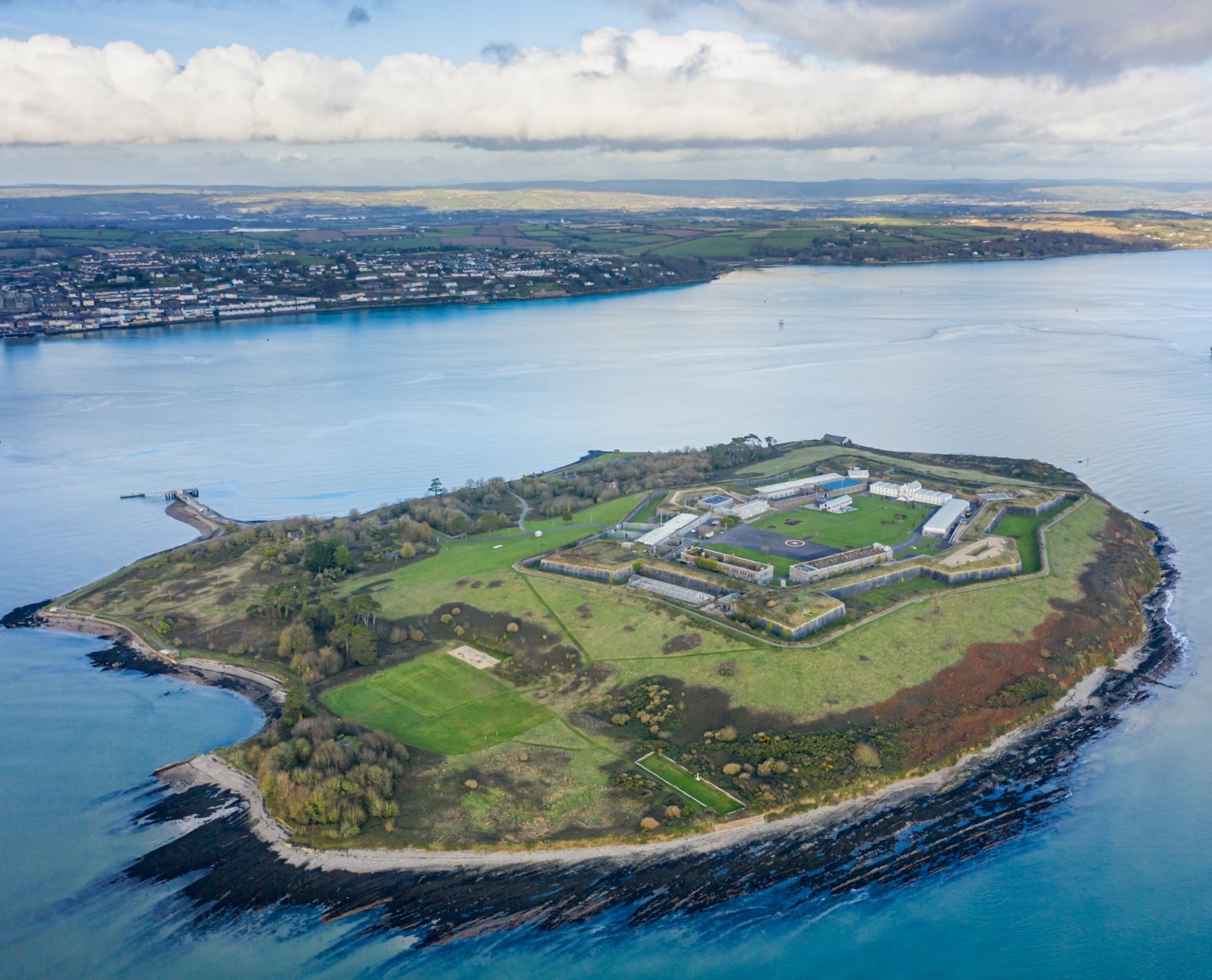
Westmoreland Fort is a massive star-shaped military structure taking over half of Spike island in Cork Harbour. Built from 1791 to guard the waterway, it later became a convict prison from 1847 to 1883 before returning to civilian use. Its six bastions and broad dry ditch still dominate the small island, proving that human ambition can reshape even the tiniest corner of nature.
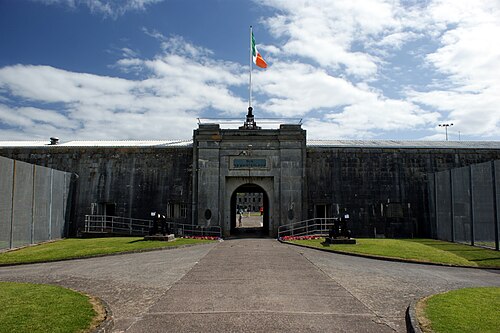
Large star-shaped artillery fortification with glacis, occupying over half of Spike island, in Cork Harbour. Fort replaced a battery erected 1779 but abandoned by 1783 (Brunicardi 1982, 39). Work on new fortifications designed by Charles Vallancey began 1791; original plan for small irregular fort (MacCarthy 1970, 161-2), but structure built described as 'extensive artillery barracks' (Lewis 1837, vol. 2, 572). Barracks erected 1806 (Windele 1844, 193) and by 1811 ordnance depot established. Though Windele (ibid.) says 'these works are incomplete.. it is at present garrisoned by a small military force', the fort had largely taken its present form by 1842 (compare plan on 1842 OS 6-inch map and photo in Kerrigan 1978, 145 & Brunicardi ibid, 45); however work continued at least to 1860. From 1847-1883 fort used as convict prison. Described by Kerrigan (1978, 147) as of 'irregular outline consisting of six bastions connected by ramparts and surrounded by a broad dry ditch'; inside are ranges of barrack buildings arranged a round a large parade ground. Fort now used as civilian prison. To W are remainsof 'a large and handsome military hospital' (Lewis ibid.); various buildings erected for 'persons connected with the establishment' (ibid.) along shoreline to N.
According to Hurley (1980, 63), island 'identifiable with the early ecclesiastical site of Inispicht' (see also Coleman 1893, 1-8; Lynch 1912,162-4; J.C.Q. 1936, 47-8; Bolster 1972, XLI), of which there are no visible surface traces; map of 1625 appears to show ruined church on island (Hayes-McCoy 1964, plate 21) but none shown on Vallancey's map (MacCarthy ibid), nor does the latter show any remains of castle/tower house shown on 1587 map (Hayes-McCoy ibid., 25, plate 15).
The above description is derived from the published 'Archaeological Inventory of County Cork. Volume 2: East and South Cork' (Dublin: Stationery Office, 1994). In certain instances the entries have been revised and updated in the light of recent research.
Date of upload/revision: 14 January 2009
The monument record does not grant public access. Check the route and ask the landowner before entering private land.
- What survives
- Recorded monument
Places near here
 Ecclesiastical site in Spike IslandEcclesiastical site · 2 yd
 Spike IslandIslet · 42 yd
 Dún an Mhistealachbattery · 168 yd
 officer's houseofficer's house · 311 yd
 Burial ground in Spike IslandBurial ground · 368 yd
 Cork Red Marble SeamNamed rock · 1257 yd
 Rocky IslandIslet · 1264 yd
 HaulbowlineIslet · 1450 yd
 Cork Harbour TragedyMemorial · 1.2 mi
 Heritage CentreMuseum · 1.2 mi
 Graveyard in KilgarvanGraveyard · 1.2 mi
 Cobh Tourist OfficeVisitor information · 1.2 mi