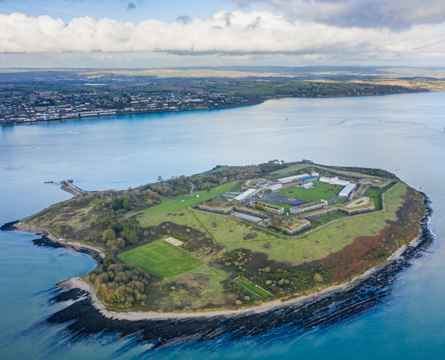
What is recorded here
According to Hurley (1980, 63), Spike island is 'identifiable with the early ecclesiastical site of Inispicht' (see also Coleman 1893, 1-8; Lynch 1912,162-4; J.C.Q. 1936, 47-8; Bolster 1972, XLI), of which there are no visible surface traces; map of 1625 appears to show ruined church on island (Hayes-McCoy 1964, plate 21) but none shown on Vallancey's map (MacCarthy ibid), nor does the latter show any remains of castle/tower house shown on 1587 map (Hayes-McCoy ibid., 25, plate 15).
The above description is derived from the published 'Archaeological Inventory of County Cork. Volume 2: East and South Cork' (Dublin: Stationery Office, 1994). In certain instances the entries have been revised and updated in the light of recent research.
Date of upload/revision: 14 January 2009
A local church or high cross; wider significance not recorded.
The monument record does not grant public access. Check the route and ask the landowner before entering private land.
- What survives
- Recorded monument
Places near here
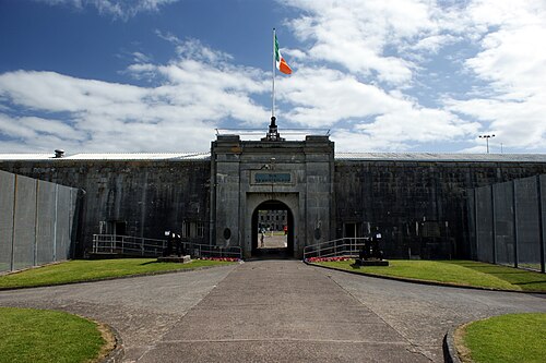 Spike IslandIslet · 40 yd
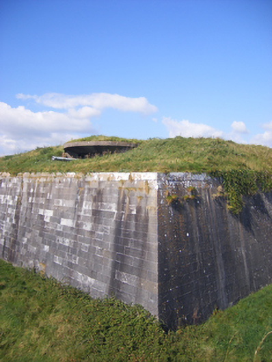 Dún an Mhistealachbattery · 170 yd
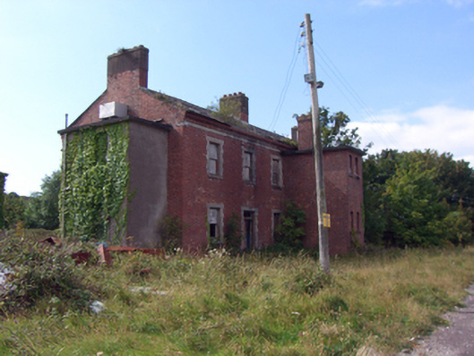 officer's houseofficer's house · 309 yd
 Burial ground in Spike IslandBurial ground · 369 yd
 Cork Red Marble SeamNamed rock · 1256 yd
 Rocky IslandIslet · 1263 yd
 HaulbowlineIslet · 1448 yd
 Ordnance Ground, Admiralty PropertyBastioned fort · 1.0 mi
 Cork Harbour TragedyMemorial · 1.2 mi
 Heritage CentreMuseum · 1.2 mi
 Graveyard in KilgarvanGraveyard · 1.2 mi
 Cobh Tourist OfficeVisitor information · 1.2 mi
Other information
Photo: Credit not shown in the picture search · Rights wording not checked; contact us if this picture should be removed