What is recorded here
Archaeological excavation (02E1671) uncovered a stone-lined well (diam. 2.5m; D 1.5m plus) with a stone post-setting perhaps for a superstructure (Fallon 2003, 15-16), at the SE corner of the development site. (Fallon 2003, 2006)
Compiled by: Michael Moore
Date of upload: 9 July, 2019
The monument record does not grant public access. Check the route and ask the landowner before entering private land.
- What survives
- Recorded monument
Places near here
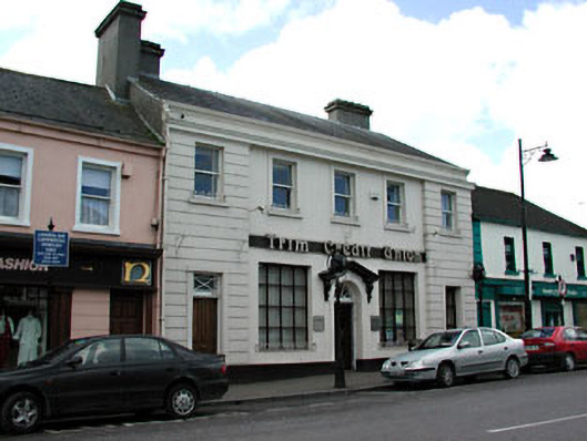 bank/financial institutionbank/financial institution · 21 yd
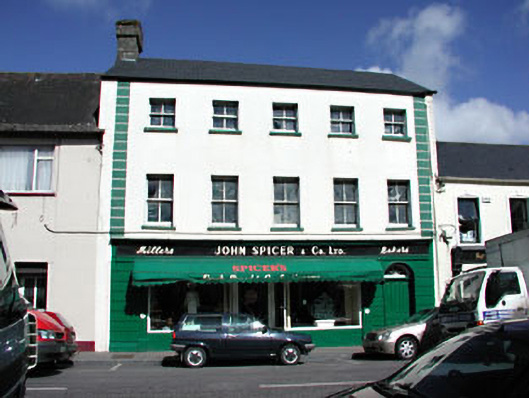 John Spicer and Companyhouse · 56 yd
 CastleCastle, hall-house · 237 yd
 Trim CastleCastle, Anglo-Norman masonry castle · 247 yd
 Fortification in Manorland (1st Division)Fortification · 254 yd
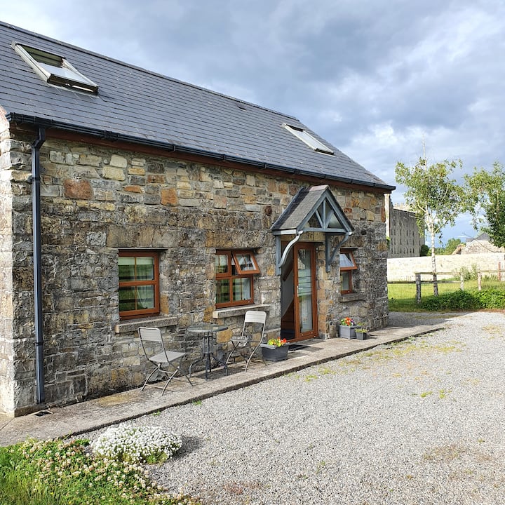 IndicatedTown defences · 258 yd
 Saints IslandForest · 3.7 mi
 Small-leaved ElmSmall-leaved Elm · 3.9 mi
 Tara Open StudioGallery · 7.7 mi
 Kilgar GardensHeritage attraction · 9.2 mi
 Old Bog Road made famous by Teresa Bryton 1868-1943Memorial · 9.3 mi
 MullaghMountain / peak · 9.4 mi