What is recorded here
That well stood between the convent and James's Street, drawing water for generations before concrete and commerce buried it. It is not lost, only lowered, still holding its shape beneath the shopping centre where people now pass without knowing the depth below their feet.
An archaeological excavation (92E0038) was carried out by John Channing in 1992 within plot that stretched from High Street to the western stretch of the town wall of the Hightown of Kilkenny (Channing 1992, unpublished; 1993). The plot is shown as wholly occupied by buildings extending N-S from Red Lane to James Street and E-W from High Street to the town wall on John Rocque's 1758 map of Kilkenny. The site was occupied by the Presentation convent school and chapel, James's Street from 1800 until 1992, at which time it was demolished for construction of the present Market Cross Shopping Centre (Bradley 2000, 14). The excavations, in advance of construction of the shopping centre, uncovered two circular drystone-built wells, this well (D 10.36m) between the NW corner of the former convent building and James's Street and another (KK019-026095-) at the W end of Red Lane. Both wells had been backfilled in the 20th century. Portions of the wells were preserved in situ below the formation level of the present shopping centre.
Stone-lined and unlined pits (KK019-026149-) containing medieval pottery were also recorded adjacent to James's Street.
Compiled by: Cóilín Ó Drisceoil
Date of upload: 28 March 2022
The monument record does not grant public access. Check the route and ask the landowner before entering private land.
- What survives
- Recorded monument
Places near here
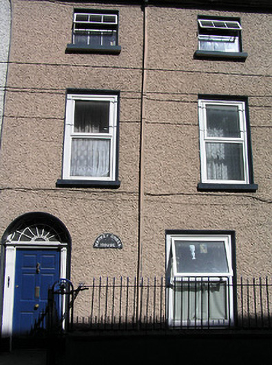 Market Cross Househouse · 25 yd
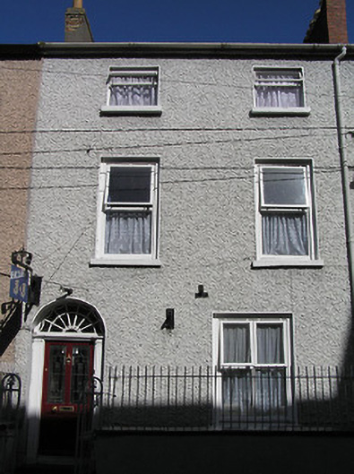 Saint Mary'shouse · 31 yd
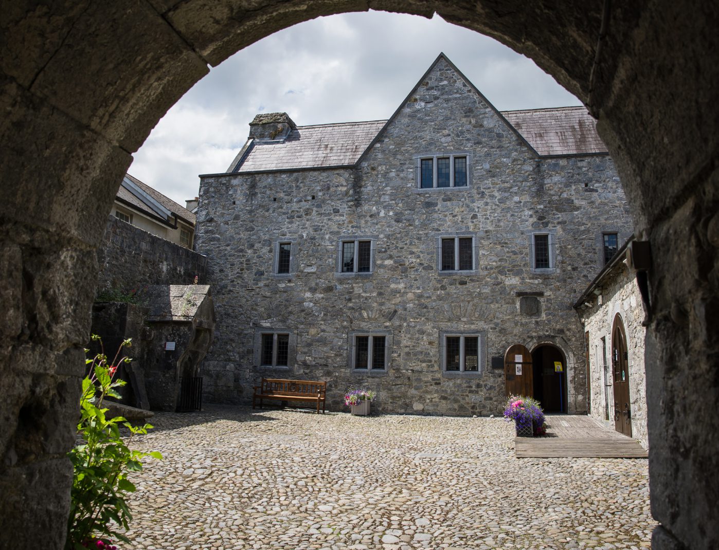 Rothe House & GardenMuseum · 169 yd
 Black Abbey CarparkMemorial · 187 yd
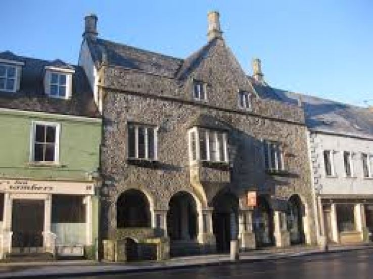 Rothe familyMemorial · 199 yd
 Sheela-na-gig (present location) in Gardens (kilkenny City By., St. Mary’s Par.)Sheela-na-gig (present location) · 210 yd
 Emling's Hall (site of)Archaeological place · 210 yd
 TholselHeritage attraction · 220 yd
 Kilkenny Old Jail and CourthouseVisitor information · 228 yd
 Black AbbeyVisitor information · 232 yd
 Grace's Old CastleCastle · 243 yd
 Black PoplarBlack Poplar · 669 yd