What is recorded here
Weir is a weir (regulating) in Manselstown, Shanballyduff (Rahelty parish), County Tipperary, Ireland. The Civil Survey recorded the local eel weir as destroyed in 1654 to 1656, while the first edition Ordnance Survey map still depicted a weir there. The archaeological inventory for this place recorded no visible remains.
Described in the Civil Survey (1654-6) as an 'eele weare all destroyed' (Simington 1931, vol. 1, 41) on the Black River. No visible remains. Depicted as a weir on the 1st ed. OS 6-inch map.
The above description is derived from 'The Archaeological Inventory of County Tipperary. Vol. 1 - North Tipperary' compiled by Jean Farrelly and Caimin O'Brien (Dublin: Stationery Office, 2002). In certain instances the entries have been revised and updated in the light of recent research.
Date of upload/revision: 22 September 2008
The monument record does not grant public access. Check the route and ask the landowner before entering private land.
- What survives
- Recorded monument
Places near here
 Enclosure in Borris (twomileborris Par.)Enclosure · 1575 yd
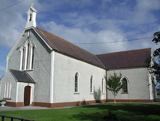 Saint James's Catholic Churchchurch/chapel · 1.2 mi
 Enclosure in Piercetown (rahelty Par.)Enclosure · 1.3 mi
 Church (in ruins)Church · 1.4 mi
 CastleCastle, tower house · 1.4 mi
 Coolcroo CastleCastle, tower house · 2.4 mi
 European ashEuropean ash · 3.3 mi
 Sweet ChestnutSweet Chestnut · 3.7 mi
 St. Mary's Famine and War MuseumMuseum · 4.6 mi
 Famine & War MuseumMuseum · 4.8 mi
 Horse and JockeyVisitor information · 5.8 mi
 Bregaun HillMountain / peak · 5.9 mi