What is recorded here
Described in the Civil Survey (1654-6) as 'two Eeles weares out of repaire' (Simington 1931, vol. 1, 55) on the River Suir. No visible remains.
The above description is derived from 'The Archaeological Inventory of County Tipperary. Vol. 1 - North Tipperary' compiled by Jean Farrelly and Caimin O'Brien (Dublin: Stationery Office, 2002). In certain instances the entries have been revised and updated in the light of recent research.
Date of upload/revision: 22 September 2008
The monument record does not grant public access. Check the route and ask the landowner before entering private land.
- What survives
- Recorded monument
Places near here
 Corn Mill (in ruins)Water mill, unclassified · 1074 yd
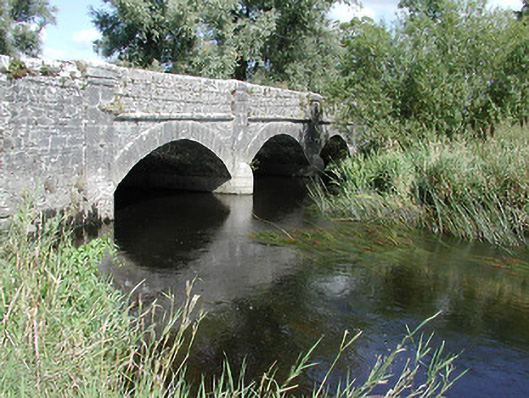 Cabragh Bridgebridge · 1095 yd
 Ceremonial enclosure in BeakstownCeremonial enclosure · 1267 yd
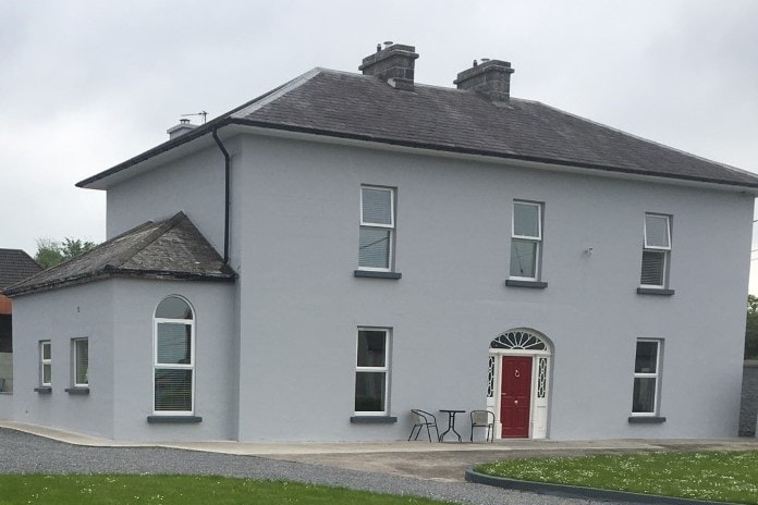 Habitation site in BeakstownHabitation site · 1324 yd
 Castle (in ruins)Bawn · 1447 yd
 Wildlife CorridorWood · 1721 yd
 WoodlandWood · 1.2 mi
 Black CastleCastle · 1.2 mi
 Lár na PáirceMuseum · 1.2 mi
 Pheasant IslandHeritage attraction · 1.4 mi
 Killough Hill (site of)Mountain / peak · 3.8 mi
 Horse and JockeyVisitor information · 4.8 mi