What is recorded here
In esturine clays on W bank of River Maigue, immediately NW of weir (LI004-03102-). Described by O'Sullivan (2001, 217 & 310) as 'post-and-wattle, oriented NW-SE, composed of large poles (4cm in diameter) with interwoven wattle rods (2cm in diameter) exposed over an area measuring 5m by 2m.' Exact function unknown but probably part of fish-net weir.
Compiled by: Denis Power
Date of upload: 26 August 2011
The monument record does not grant public access. Check the route and ask the landowner before entering private land.
- What survives
- Recorded monument
Places near here
 Maiden RockNamed rock · 249 yd
 Rinekirk PointHeadland · 327 yd
 Grass IslandIslet · 499 yd
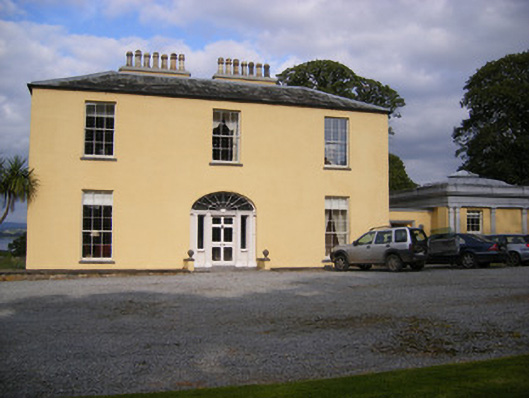 Mellon Housecountry house · 1160 yd
 Grave YardGraveyard · 1561 yd
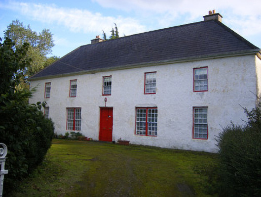 Mount Pleasantfarm house · 1.3 mi
 Bunratty Castlehouse · 1.7 mi
 Grave Yd.Graveyard · 1.7 mi
 IndicatedBawn · 1.8 mi
 Bunratty Castle and Folk ParkHeritage attraction · 1.8 mi
 Sweet ChestnutSweet Chestnut · 2.1 mi
 Shanpallas CastleCastle · 2.3 mi