What is recorded here
In estuarine clays to S of Maiden Rock. Described by O'Sullivan (2001, 217 & 311) as 'post alignment oriented NW-SE, 10-15m long. Appears to be small creek trap.'
Compiled by: Denis Power
Date of upload: 26 August 2011
The monument record does not grant public access. Check the route and ask the landowner before entering private land.
- What survives
- Recorded monument
Places near here
 Maiden RockNamed rock · 88 yd
 Rinekirk PointHeadland · 488 yd
 Grass IslandIslet · 526 yd
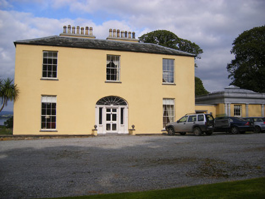 Mellon Housecountry house · 1318 yd
 Grave YardGraveyard · 1702 yd
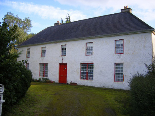 Mount Pleasantfarm house · 1.4 mi
 Bunratty Castlehouse · 1.6 mi
 Grave Yd.Graveyard · 1.6 mi
 IndicatedBawn · 1.7 mi
 Bunratty Castle and Folk ParkHeritage attraction · 1.7 mi
 Sweet ChestnutSweet Chestnut · 2.1 mi
 Shanpallas CastleCastle · 2.4 mi