What is recorded here
In a sheltered cove, on mud flats at the confluence of the White River and the River Shannon at Loghill. Not depicted on OS historic mapping. Identified as a fish weir (SMR file). Visible as a small rivulet on the mudflats at low tide on Digital Globe orthophotos taken 2011-13 and Google Earth orthoimages taken 24/03/2017.
See attached Google Earth orthoimage
Compiled by: Alison McQueen and Vera Rahilly
Date of upload: 6 July 2020
The monument record does not grant public access. Check the route and ask the landowner before entering private land.
- What survives
- Recorded monument
Places near here
 Loghill HoCastle, unclassified · 164 yd
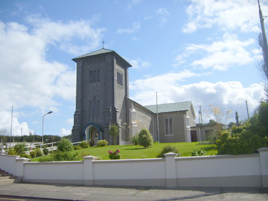 Catholic Church of the Assumptionchurch/chapel · 385 yd
 bridgebridge · 480 yd
 Grave YardGraveyard · 1201 yd
 Enclosure in Loghill (shanid By.)Enclosure · 1474 yd
 Monterey CypressMonterey Cypress · 1.7 mi
 Prospect HillMountain / peak · 2.3 mi
 Boatman's PointHeadland · 2.5 mi
 Castle (Site of)Castle, unclassified · 2.6 mi
 Labasheeda PointHeadland · 2.7 mi
 Labasheeda QuayVisitor information · 2.8 mi
 Mountshannon EstateHeritage attraction · 3.0 mi