What is recorded here
Located in the intertidal zone between the western limits of Lough Athola and Mannin Bay to the south. This rectangular fish trap (c. 7.5m E-W; c. 3m N-S) is defined by stone walls and it is visible on Google Earth aerial imagery taken on 25 February 2006 (accessed 7 December 2018). It was in use until relatively recently (information from Michael Gibbons, 15 November 2018).
Compiled by: Olive Alcock
Date of upload: 7 December 2018
The monument record does not grant public access. Check the route and ask the landowner before entering private land.
- What survives
- Recorded monument
Places near here
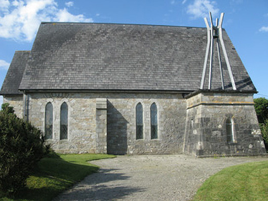 Holy Trinity Church (Ballindoon)church/chapel · 1506 yd
 Kilflannann Ch. (in ruins)Church · 1531 yd
 Ritual siteRitual site, holy/saint's stone · 1570 yd
 Mannin BayBay · 1.0 mi
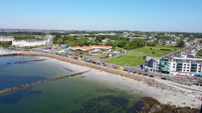 Structure in Atlantic OceanStructure · 1.5 mi
 Mannin Bay Coral StrandBeach / strand · 1.7 mi
 Alcock and Brown Atlantic CrossingMemorial · 1.7 mi
 Abbeyglen Castle HotelCastle · 2.3 mi
 Sky RoadViewpoint · 2.4 mi
 Lavelle Art GalleryGallery · 2.6 mi
 Boolard IslandIslet · 2.9 mi
 Bawn in Doon (ballynahinch By.)Bawn · 3.4 mi