What is recorded here
A fishing weir used by John Inglysshe is listed amongst the possessions of Dunbrody Abbey (WX039-030001-) at the Suppression in 1541 (Hore 1900-11, vol. 3, 125). It was ultimately granted to Sir Osborne Itchingham, and the Itchinghams still possessed the weir in 1616 and 1635. It was recorded in a drawing by Thomas Phillips, the military surveyor, in 1685, where it is shown as a V-shaped structure in the sea N of Duncannon fort (WX044-015----) and quite close to it. It was a head-weir, catching fish on the ebb-tide. It is not marked on the 1839 ed. of the OS 6-inch map, but in 1863 the Commissioners of Fisheries required its abatement or removal as it was an impediment to navigation. Its precise location cannot be identified. (Went 1948)
Compiled by: Michael Moore
Date of upload: 17 June, 2013
The monument record does not grant public access. Check the route and ask the landowner before entering private land.
- What survives
- Recorded monument
Places near here
 Duncannon Martello Tower (South)martello tower · 222 yd
 Catholic Church of the Star of the Seapresbytery/parochial/curate's house · 260 yd
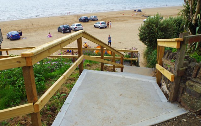 Duncannon BeachVisitor information · 622 yd
 DuncannonBeach / strand · 796 yd
 Enclosure in MersheenEnclosure · 1037 yd
 Enclosure in BallystrawEnclosure · 1.1 mi
 Common WhitebeamCommon Whitebeam · 1.2 mi
 Arthurstown BeachBeach / strand · 1.5 mi
 Carricjmore CliffCliff · 1.7 mi
 Ivory MemorialMemorial · 1.9 mi
 Otter with a SalmonMemorial · 2.0 mi
 Newtown HeadHeadland · 2.1 mi