What is recorded here
This record refers to a weir shown at the mouth of the Drumcliff River on the Down Survey barony and parish maps (1655-8). It is marked on the barony map as ‘a Weare’ and on the somewhat more detailed parish map as ‘A fishing were’, and is depicted as a narrow rectilinear structure extending across the full width of the river. it is not shown on the later OS 6-inch maps. There are no visible remains, and its exact location on the river remains unknown.
Compiled by: Jane O'Shaughnessy
Date of upload: 13 December 2016
This remains an important historical record, but the official description says the monument is no longer visible or has been destroyed. The monument record does not grant public access. Check the route and ask the landowner before entering private land.
- What survives
- No visible remains or recorded as destroyed
Places near here
 CastleCastle, unclassified · 602 yd
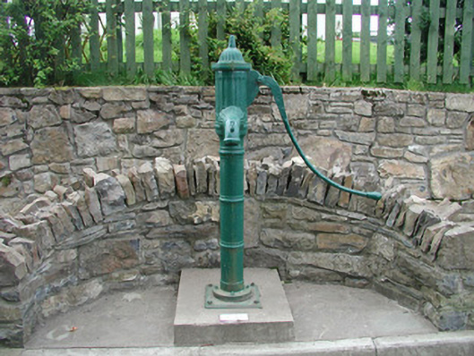 water pumpwater pump · 1161 yd
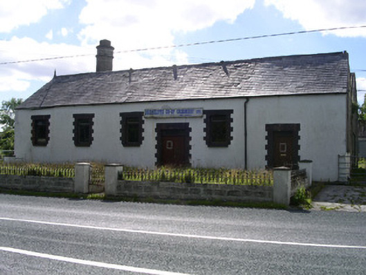 Drumcliffe Co-Operative Creamerycreamery · 1310 yd
 Floods WoodForest · 1317 yd
 Round Tower (in Ruins)Round tower · 1560 yd
 Stone crossCross, High cross · 1625 yd
 Grave of WB YeatsHeritage attraction · 1695 yd
 Drumcliff CemeteryGraveyard · 1708 yd
 Paddy McGowan's WoodWood · 1.2 mi
 Castle (in Ruins)Castle, unclassified · 1.3 mi
 Finned PointHeadland · 1.4 mi
 Drumcliff BayBay · 2.4 mi