What is recorded here
According to the Civil Survey (1654-6) a weir at Borris was owned by Edward Masterson in 1641. It was on an extensive estate of 1000 acres in Kilrush parish including land at Borris, Knocknalure, Ballynaberny, Ballycadden and Kiltyle (Kiltilly) townlands. The weir remains unlocated. (Simington 1953, 261, 292)
Compiled by: Micahel Moore
Date of upload: 11 April, 2012
The monument record does not grant public access. Check the route and ask the landowner before entering private land.
- What survives
- Recorded monument
Places near here
 Borris Castle (in ruins)Gatehouse · 595 yd
 Kilrush Ch.Church · 1443 yd
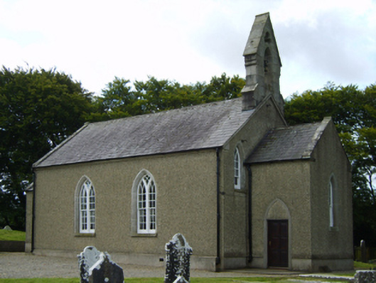 Saint Brigid's Church (Kilrush)church/chapel · 1443 yd
 Site of ChurchChurch · 1.3 mi
 Gibbet HillMountain / peak · 1.8 mi
 Embanked enclosureCastle, motte · 1.9 mi
 Clohamon Castle (in ruins)Castle, unclassified · 2.6 mi
 European YewEuropean Yew · 2.8 mi
 European LarchEuropean Larch · 2.8 mi
 1798 rebellion Battle of Newtownbarry (AKA Bunclody) commemorative plaqueMemorial · 3.3 mi
 Bunclody 1798 Bicentenary MemorialMemorial · 3.3 mi
 SlieveboyMountain / peak · 3.5 mi