What is recorded here
On the E bank of the upper Fergus estuary adjacent to Ballygirreen townland. Described by O’Sullivan (2001, 296) as an early historic ‘Post-and-wattle fence in estuarine clays at LWM, oriented ENE-WSW, 8.2m long, of 25 vertical roundwood stakes (2-3cm in diameter) with narrow interwoven rods (1.7-1.9cm). Post-and -wattle panels lie in muds at the WSW end. Radiocarbon-dated to 1495 +/- 35 BP (cal. AD 442-644; GrN-20139). Planned July 1992; revisited May 1995.' (O'Sullivan 1993-4, 52-61; O'Sullivan 2001, 138-144, 296, Fergus estuary 2)
Compiled by: Mary Tunney
Date of upload: 19 August 2019
The monument record does not grant public access. Check the route and ask the landowner before entering private land.
- What survives
- Recorded monument
Places near here
 Castle (Site of)Castle, unclassified · 1627 yd
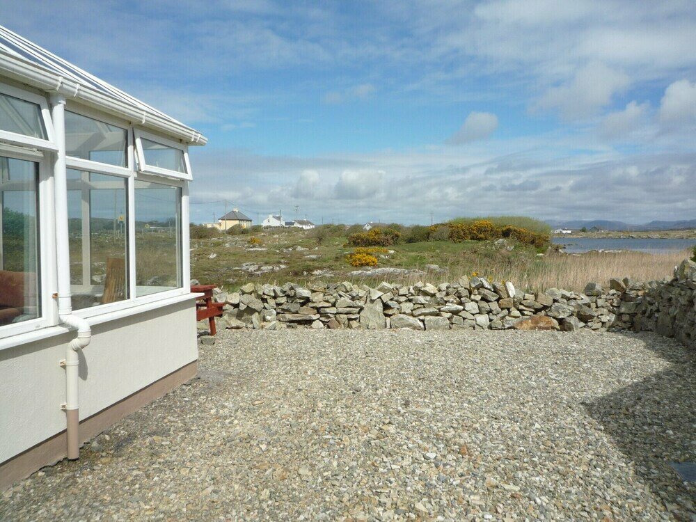 Enclosure in Ballyconneely,ballygirreenEnclosure · 1693 yd
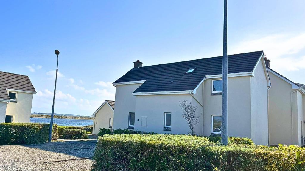 Enclosure in BallyconneelyEnclosure · 1.1 mi
 HawthornHawthorn · 1.1 mi
 belvederebelvedere · 1.2 mi
 Latoon Bridgebridge · 1.4 mi
 Dromoland CastleCastle, unclassified · 1.6 mi
 Irish Famine MemorialMemorial · 2.5 mi
 G.A.A. Commemorative StoneMemorial · 2.5 mi
 Killone AbbeyHeritage attraction · 3.0 mi
 Abbey WoodForest · 3.1 mi
 Rine PointHeadland · 3.4 mi