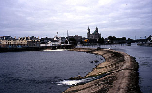
What is recorded here
Weir on crescent-shaped plan spanning the River Shannon, built c.1845 and possibly incorporating the fabric of earlier weirs to site. Stepped salmon leap to the centre. Constructed of cut limestone with cement rendered slipway, c.1960, to the east bank having rubble stone sheltering walls with cut stone coping over. Associated Shannon Navigation lock (15000345) to the west bank. Located to the south of The Shannon Road Bridge (15000006).
This weir and associated works are an important part of the industrial heritage of Athlone. They were originally built as part of the Shannon Navigation works, which took place between 1840-9 with the intention of opening the Shannon to increased commercial traffic and trade. The associated lock is located to the west (15000345) and together these feature transverse the River Shannon to the south of the main Shannon Road Bridge (15000010) in Athlone. These well-built and robust works are typical of the engineering projects of the Victorian Period and are an integral part of the industrial, economic and social history of the area.
This does not grant access. Most recorded buildings are privately owned; view them only from public ground unless the owner allows entry.
Places near here
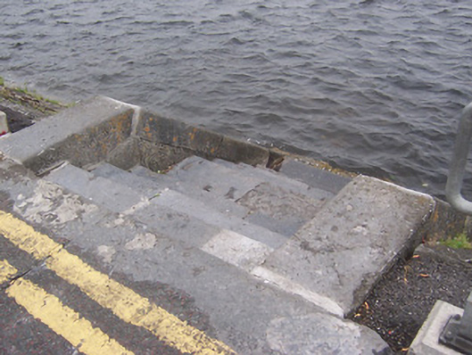 promenadepromenade · 73 yd
 Athlone Locklock · 112 yd
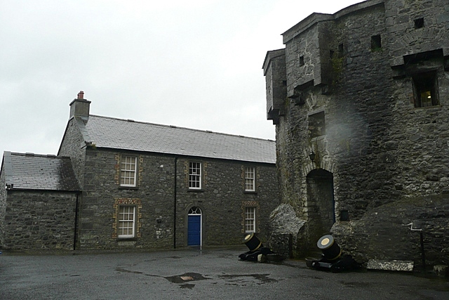 CastleCastle, unclassified · 206 yd
 Athlone Music MuseumMuseum · 254 yd
 1916 Centenery CommemorationMemorial · 298 yd
 Athlone CastleVisitor information · 322 yd
 CrossCross, Wayside cross · 325 yd
 Historic Town - Athlone Castle & Church of St Peter and PaulVisitor information · 357 yd
 Ancient WallTown defences · 393 yd
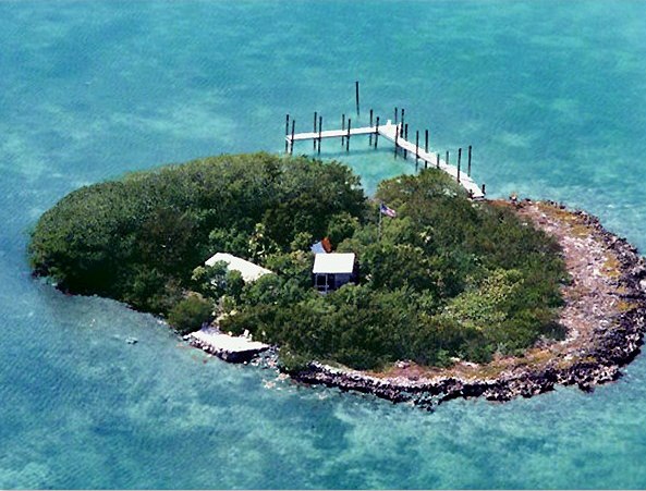 Charlie's IslandIslet · 1272 yd
 Siege of Athlonesiege · 1608 yd
Other information
Photo: National Inventory of Architectural Heritage · Website use allowed for educational or private purposes with source credit