What is recorded here
No visible chamber survives at the narrow end, but the surviving stones still force the eye inward. The tomb stands in a small haggard beside a walled garden and outbuilding, mapped locally as a cromlech, with limestone paving beneath its uprights and a fallen capstone leaning across the front like a door half opened. People may have placed the dead inside that tapering stone mouth, then walked away into the ordinary world, leaving the chamber closed to sight but not forgotten.
On generally level ground, in a small haggard, in the angle between a walled garden (long-axis N-S) to E and an outbuilding (long-axis E-W) to S. Reasonable views to W and N, over slightly lower ground, yet limited to E and S due to upstanding structures. Depicted and named ‘Cromlech’ on all OS historic mapping. The monument appears to have been constructed on a pavement of limestone, which is situated c. 0.2m above the external ground level. A well-preserved wedge tomb (6m NE-SW; 4m NW-SE) open to SW. The monument is defined by three upright in-situ orthostats to NW and what appear to be three upright orthostats to SE, of which the two to the rear seem slightly displaced and largely obscured by dense briars. A large in-situ capstone covers the rear of the tomb. Its weight is borne on the rear sidestone to NW and SE. Across the centre and front of the tomb, a substantial displaced capstone has fallen inwards and is almost upright. Its weight appears to have been borne on the two central sidestones to NW and SE. Together the four central and rear sidestones taper to form the wedge shape of the tomb, as can be seen clearly in the NW elevation. The third sidestone on either side (to front of tomb) no longer bears the weight of the capstone. These two frontal sidestones are both quite low in height and have either sunken or may be broken, with that to SE protruding just above ground level. A large stone at the SW end of the NW side may also be displaced or may be part of an external layer of sidestones that no longer survive. An earthfast orthostat on the exterior of the SE side may also have formed part of an outer layer of orthostats. A large backstone is located in the centre at the NE end of the monument and the underside of rear capstone partially rests on it. There is some loose stone within the interior and it is otherwise obscured by vegetation. See De Valera and Ó Nualláin 1961 (attached) for plans and detailed measurements.
The following items are uploaded:
CL027-019001-_01.pdf Details from Ruaidhrí de Valera and Seán Ó Nualláin, Survey of the Megalithic Tombs of Ireland. Volume I. County Clare. (Dublin: Stationery Office, 1961)
CL027-019001-_01.jpg View from NW.
CL027-019001-_02.jpg From W. General view of monument.
Compiled by: Mary Tunney, Alison McQueen and Vera Rahilly
Date of upload: 27 November 2018
Wedge tomb, dating to the Late Neolithic or Early Bronze Age (c. 2500–1000 BCE). Its location within a small haggard suggests possible reuse or adaptation of the monument in later agricultural contexts.
The monument record does not grant public access. Check the route and ask the landowner before entering private land.
- What survives
- Recorded monument
Places near here
 Tyredagh Castle (in ruins)Castle, tower house · 561 yd
 IndicatedFairy fort / stone ringfort · 993 yd
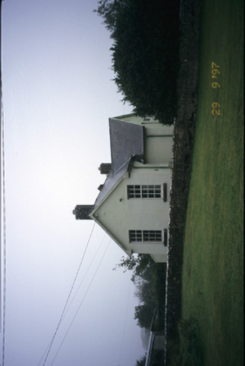 Scoil Náisiúnta Macaireschool · 1277 yd
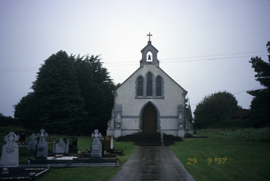 Saint Stephen's Catholic Churchchurch/chapel · 1313 yd
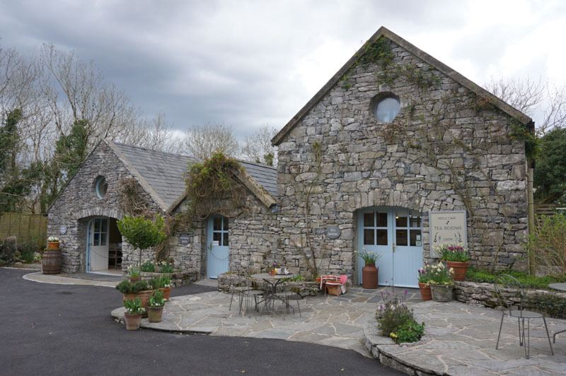 Enclosure in AffickEnclosure · 1395 yd
 Milltown Castle (in ruins)Castle, tower house · 1722 yd
 The StablesGallery · 2.3 mi
 Derrymore WoodWood · 2.7 mi
 Cloghleagh RockNamed rock · 4.0 mi
 Kilcatherine GraveyardWood · 4.3 mi
 Mulkere MemorialMemorial · 5.2 mi
 Quin AbbeyHeritage attraction · 5.3 mi