What is recorded here
Milleennagun holds a broken wedge tomb where field fences have swallowed its southern and eastern edges. Three stones mark one side, a single stone marks the other, and a rear slab still pushes through the fence like a forgotten rib. The gallery stretches thirty-five decimetres along a slight ridge, perhaps guiding dead people toward horizon or simply giving living people a reason to stack stone beside stone. What is missing has not stopped the shape from speaking.
On slight slope just S of crest low ridge; S and E sides incorporated in remains of field fence. Ruins of gallery (L c. 3.5m; Wth 1.2m) aligned NE-SW, represented by single stone to N, three stones to S, two of which form a doubling of the side. Stone at rear gallery protruding at an angle from fence, may be displaced backstone; prostrate slab, 3m NW of gallery, may be displaced sidestone or roofstone, No clear indications of surrounding mound. (O Nualláin 1989, 136)
The above description is derived from the published 'Archaeological Inventory of County Cork. Volume 1: West Cork' (Dublin: Stationery Office, 1992). In certain instances the entries have been revised and updated in the light of recent research.
Date of upload/revision: 14 January 2009
Wedge tomb, dating to the Late Neolithic or Early Bronze Age (c. 2500–1000 BCE). Its partial survival and alignment reflect typical megalithic funerary practices of the period in the region.
The monument record does not grant public access. Check the route and ask the landowner before entering private land.
- What survives
- Recorded monument
Places near here
 Fulacht fia in LettergormanFulacht fia · 660 yd
 Mound in KildeeMound · 874 yd
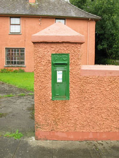 post boxpost box · 1349 yd
 Bealanascartane Bridgebridge · 1.4 mi
 Ballinvard CastleCastle · 2.2 mi
 Ballynacarriga CastleCastle, tower house · 2.2 mi
 Cross commemorating Holy Day.Memorial · 3.4 mi
 Mohona WoodWood · 3.4 mi
 Jeremiah O'Donovan RossaMemorial · 3.4 mi
 CarrigfaddaMountain / peak · 3.5 mi
 Corran HillMountain / peak · 4.2 mi
 Irish National Forestry FoundationNature reserve · 4.2 mi