What is recorded here
The official Northern Ireland record identifies this as WEDGE TOMB. Recorded period: PREHISTORIC; NEO/B.A.. Recorded protection: Scheduled. The official map point was placed at the centre of the recorded archaeological site from the source map reference.
Wedge tomb; dates to the Late Neolithic or Early Bronze Age. Its scheduled protection status highlights its archaeological importance in understanding prehistoric funerary practices in the region.
The monument record does not grant public access. Check the route and ask the landowner before entering private land.
- What survives
- Recorded monument
Places near here
 A.P. SITEA.P. SITE, circular enclosure · 1.0 mi
 ENCLOSURE in GortinaginENCLOSURE · 1.1 mi
 Grange WoodWood · 1.3 mi
 Moyle IslandIsland · 1.4 mi
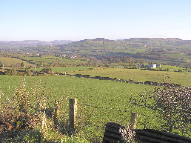 Bessy BellMountain / peak · 1.6 mi
 Newtownstewart Presbyterian ChurchChurch · 1.8 mi
 Mary GrayMountain / peak · 1.9 mi
 Hood & Co.Shop · 2.1 mi
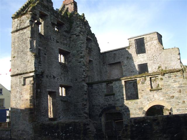 CASTLE & BAWN: NEWTOWNSTEWART CASTLE in NewtownstewartCASTLE & BAWN: NEWTOWNSTEWART CASTLE · 2.1 mi
 CASTLE & BAILEY: HARRY AVERY'S CASTLE in Upper OR New DeerparkCASTLE & BAILEY: HARRY AVERY'S CASTLE · 2.2 mi
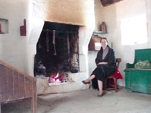 Ulster American Folk ParkMuseum · 2.2 mi
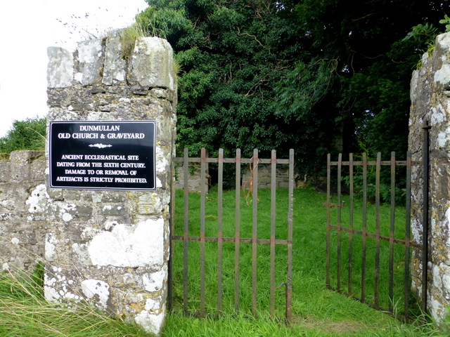 CHURCH & GRAVEYARD: CAPPAGH CHURCH or OLD CHURCH in DunmullanCHURCH & GRAVEYARD: CAPPAGH CHURCH or OLD CHURCH · 2.6 mi