What is recorded here
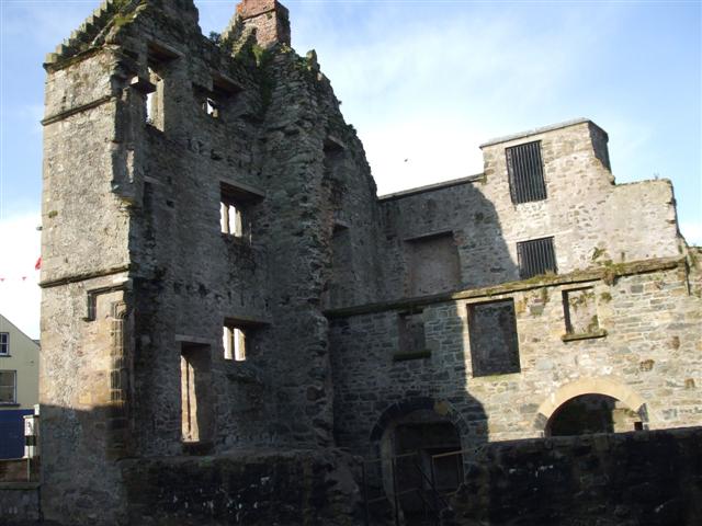
Newtownstewart Castle stands in County Tyrone as a post-medieval ruin, its stones still catching rain long after the builders left. The bawn and castle together suggest a household that watched the land, not merely decorated it. Whatever life filled that space, the structure still holds its shape against time.
The official Northern Ireland record identifies this as CASTLE & BAWN: NEWTOWNSTEWART CASTLE. Recorded period: POST-MED. Recorded protection: State Care and Scheduled. The official map point was placed at the centre of the recorded archaeological site from the source map reference.
Newtownstewart Castle was built in the 17th century by the Stewart family, who were prominent in the area during the Plantation of Ulster. It is remembered as a significant example of early post-medieval architecture in Northern Ireland and is protected as a scheduled monument.
The monument record does not grant public access. Check the route and ask the landowner before entering private land.
- What survives
- Recorded monument
Places near here
 Hood & Co.Shop · 123 yd
 Former Newtownstewart County Primary SchoolLibrary · 245 yd
 CASTLE & BAILEY: HARRY AVERY'S CASTLE in Upper OR New DeerparkCASTLE & BAILEY: HARRY AVERY'S CASTLE · 1355 yd
 Moyle IslandIsland · 1523 yd
 Grange WoodWood · 1593 yd
 ENCLOSURE in AltdoghalENCLOSURE · 1.3 mi
 ENCLOSURE in Lisnatunny GlebeENCLOSURE · 1.5 mi
 Chambered GraveArchaeological place · 1.6 mi
 Mary GrayMountain / peak · 1.8 mi
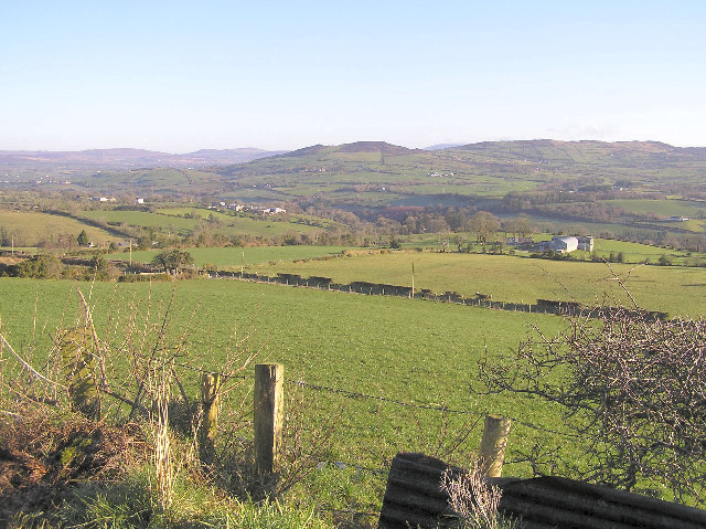 Bessy BellMountain / peak · 2.4 mi
 CastleRuins · 2.7 mi
 Cauldwell's FieldForest · 2.8 mi
Other information
Photo: Kenneth Allen · CC BY-SA 2.0