What is recorded here
Wedge tomb in Lavally (dunkellin By.) stood in flat pastureland near the Clarinbridge River, its rough chamber narrowing slightly from west to east beneath a large roofstone. People likely built it to mark death, memory or belonging in an open landscape where rock and grass still touch. It collapsed around 1930, but the shape remains visible in the story: a small room made by hands, waiting to be remembered.
In flat pastureland with outcropping rock, c. 450m to the SE of the Clarinbridge River. This tomb is now in ruins having collapsed c. 1930. Westropp's (1901, 438) account indicates that it comprised a roughly wedge-shaped chamber (L c. 2.5m; Wth 1.4m at W narrowing to 1.3m at E), aligned E-W, formed of two stones at N and one stone at S, which supported a large roofstone. It would seem probable that the monument was a wedge-tomb. (McCaffrey 1952, 10-11, 135; de Valera and Ó Nualláin 1972, 14-15)
See linked document with details from Ruaidhrí de Valera and Seán Ó Nualláin, Survey of the Megalithic Tombs of Ireland. Volume III. Counties Galway, Roscommon, Leitrim, Longford, Westmeath, Laoighis, Offaly, Kildare, Cavan. (Dublin: Stationery Office, 1972).
Compiled by: Galway Archaeological Survey, UCG
Date of upload: 19 August 2019
Wedge tomb, dating to the Late Neolithic or Early Bronze Age (c. 2500–1000 BC). Its wedge-shaped plan is characteristic of funerary monuments found primarily in the west of Ireland, reflecting regional burial traditions of the period.
The monument record does not grant public access. Check the route and ask the landowner before entering private land.
- What survives
- Recorded monument
Places near here
 Laghtgal Monumentmonument · 193 yd
 Toberbrackan CastleCastle, unclassified · 783 yd
 ToberbrackanHoly well · 803 yd
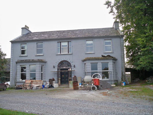 Lavallycountry house · 893 yd
 Field system in BallinillaunField system · 1060 yd
 Kilcornan WoodWood · 1248 yd
 Bawn in MoyveelaBawn · 1.3 mi
 Kilcornan ForestWood · 1.5 mi
 Drumacoo Monastic SiteHeritage attraction · 4.2 mi
 MweenisharanIslet · 5.2 mi
 Athenry AbbeyHeritage attraction · 5.4 mi
 IllananireyIslet · 6.9 mi