
What is recorded here
Three stones still mark the north side of a buried chamber in Belrose Lower, their straight line pointing across the shallow valley like a forgotten road. A displaced roofstone leans against the west pair, while another upright block guards the entrance, suggesting people once built a narrow gallery for the dead before the land claimed it back. The tomb has no mound, no marker and no master, yet it keeps its shape at the foot of the rock ridge, waiting for someone to remember why the stones were set in that exact direction.
At foot of outcropping rock ridge, on floor of broad shallow valley. Ruinous; three stones set in line (L 2.6m), represent side (possibly N) of a gallery, aligned NW-SW. Displaced roofstone rests against W pair. Orthostat at right-angles to S side of the W end of gallery may represent a frontal facade. No indications of surrounding mound. (de Valera and Ó Nualláin 1982, 33, Co. 47)
The above description is derived from the published 'Archaeological Inventory of County Cork. Volume 1: West Cork' (Dublin: Stationery Office, 1992). In certain instances the entries have been revised and updated in the light of recent research.
Date of upload/revision: 14 January 2009
See linked document with details from Ruaidhrí de Valera and Seán Ó Nualláin, Survey of the Megalithic Tombs of Ireland. Volume IV. Counties Cork, Kerry, Limerick, Tipperary. (Dublin: Stationery Office, 1982)
Wedge tomb, dating to the Late Neolithic or Early Bronze Age (c. 2500–1000 BCE). Its alignment and construction reflect a regional tradition of funerary monuments in the Irish wedge tomb culture.
The monument record does not grant public access. Check the route and ask the landowner before entering private land.
- What survives
- Recorded monument
Places near here
 Man-made underground passage in Belrose LowerMan-made underground passage · 671 yd
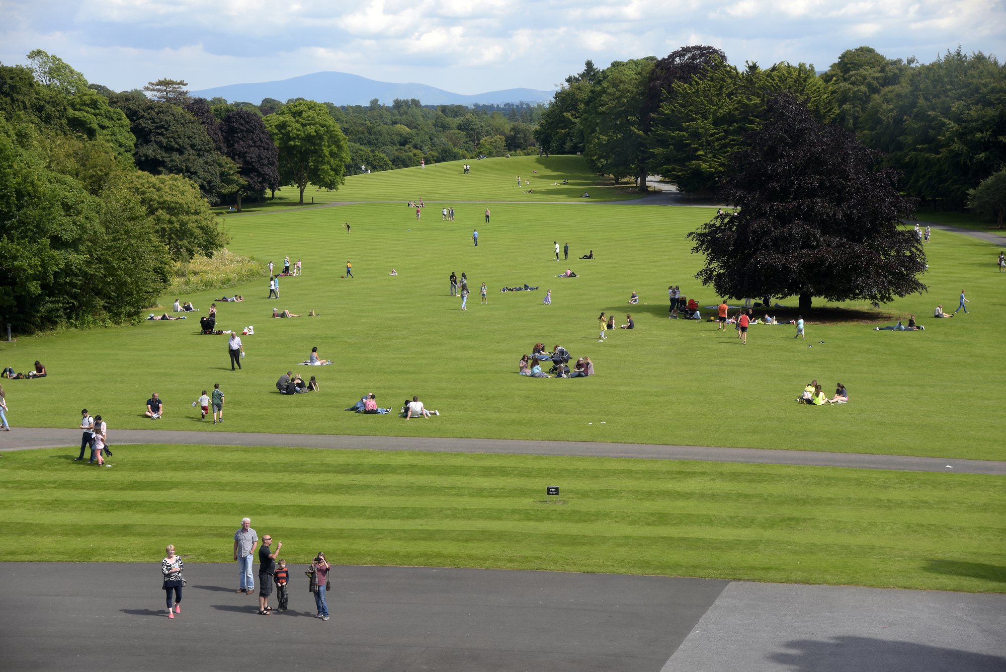 ParknakillaBurial ground · 684 yd
 Castlelands Househouse · 1.0 mi
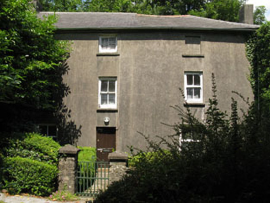 Castlelands Millmill (water) · 1.3 mi
 Castle RockNamed rock · 2.6 mi
 Green HillMountain / peak · 2.8 mi
 The GlenWood · 3.1 mi
 Irish National Forestry FoundationNature reserve · 3.6 mi
 Castle DerryCastle · 3.9 mi
 Corran HillMountain / peak · 4.4 mi
 Tobar MacloonaboySpring · 4.4 mi
 Michael Collins MemorialMemorial · 4.9 mi
Other information
Photo: Credit not shown in the picture search · Rights wording not checked; contact us if this picture should be removed