
What is recorded here
At foot of outcropping rock ridge, on floor of broad shallow valley. Ruinous; three stones set in line (L 2.6m), represent side (possibly N) of a gallery, aligned NW-SW. Displaced roofstone rests against W pair. Orthostat at right-angles to S side of the W end of gallery may represent a frontal facade. No indications of surrounding mound. (de Valera and Ó Nualláin 1982, 33, Co. 47)
The above description is derived from the published 'Archaeological Inventory of County Cork. Volume 1: West Cork' (Dublin: Stationery Office, 1992). In certain instances the entries have been revised and updated in the light of recent research.
Date of upload/revision: 14 January 2009
See linked document with details from Ruaidhrí de Valera and Seán Ó Nualláin, Survey of the Megalithic Tombs of Ireland. Volume IV. Counties Cork, Kerry, Limerick, Tipperary. (Dublin: Stationery Office, 1982)
Wedge tomb, dating to the Late Neolithic or Early Bronze Age (c. 2500–1000 BCE). Its alignment and construction reflect a regional tradition of funerary monuments in the Irish wedge tomb culture.
The monument record does not grant public access. Check the route and ask the landowner before entering private land.
- What survives
- Recorded monument
Places near here
 Man-made underground passage in Belrose LowerMan-made underground passage · 671 yd
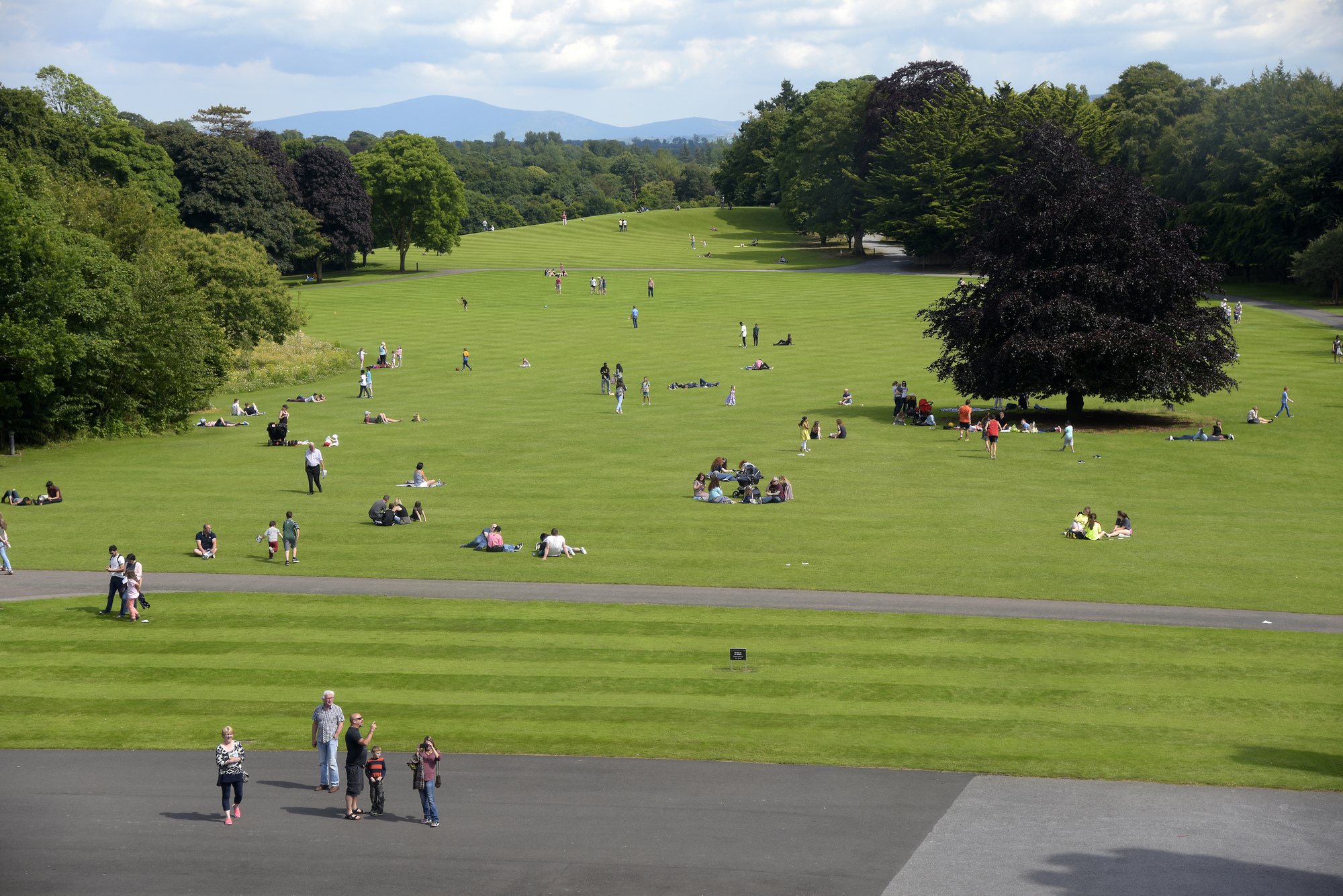 ParknakillaBurial ground · 684 yd
 Castlelands Househouse · 1.0 mi
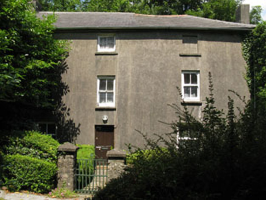 Castlelands Millmill (water) · 1.3 mi
 Castle RockNamed rock · 2.6 mi
 Green HillMountain / peak · 2.8 mi
 The GlenWood · 3.1 mi
 Irish National Forestry FoundationNature reserve · 3.6 mi
 Castle DerryCastle · 3.9 mi
 Corran HillMountain / peak · 4.4 mi
 Tobar MacloonaboySpring · 4.4 mi
 Michael Collins MemorialMemorial · 4.9 mi
Other information
Photo: Credit not shown in the picture search · Rights wording not checked; contact us if this picture should be removed