What is recorded here
One massive cap-stone still bridges the eastern chamber of the Ballynahow More wedge tomb, overlooking the Ferta estuary from a rough mountain shoulder. The gallery stretches four metres through time, its sides reinforced by low buttress stones and marked by a faint southern cairn. People later pulled roof stones from the structure to free a trapped animal, scattering the ancient ceiling across the pasture. That sudden violence reveals how the dead shared the land with the living, forcing human needs into the quiet geometry of the tomb.
This monument is located on a level shoulder of rough mountain pasture, on the lower S facing slope of Knocknadobar. There is a commanding view from the site to W, over the estuary of the Ferta river. The tomb is quite well-preserved, consisting of a gallery, open at both ends, with one cap-stone still in situ. It is orientated ENE-WSW and its sides are reinforced by low buttress-stones, set immediately outside. Traces of a low cairn are discernible, particularly on its S side. In the 1930s a separate rear chamber was noted at its E end (NMI).
The N side of the 4m long gallery is composed of three stones ranging in height from .7m to .38m; each is set inside the line of the forerunner to W. Four slabs represent the S side, the tallest, at W, standing .77m high; the remainder generally decrease in height towards the rear of the gallery at E. The width of the gallery decreases from 1.5m at W to just under 1m at the E end. Lines of external buttress-stones are set immediately against the side-stones of the gallery; four low orthostats occur on the N side, averaging .3m high and .35m wide, and eight similar slabs are visible on the S side, some of which are embedded in what appears to be cairn material. The cap-stone, located towards the E end of the gallery, rests directly on pad-stones and its ends oversail the sides of the chamber. It is irregularly shaped and measures 2.9m x 1.4m and .15m in average thickness. On its upper surface lies a .35m thick deposit of peaty material. Four other possible roof-stones lie in the immediate vicinity of the site; one occurs within the gallery. These may have been displaced when the tomb was partially dismantled, early in the twentieth century, to free a trapped farm animal (NMI).
The above description is derived from A. O'Sullivan and J. Sheehan (compilers), 'The Iveragh peninsula: an archaeological survey of South Kerry'. Cork University Press (1996), no. 72. In certain instances the entries have been revised and updated in the light of recent research.
Date of upload: 28 July 2013
Wedge tomb; dates to the Late Neolithic or Early Bronze Age (c. 2500–1000 BCE). Its location offers strategic visibility and may have had ceremonial or communal significance for early farming communities in the region.
The monument record does not grant public access. Check the route and ask the landowner before entering private land.
- What survives
- Recorded monument
Places near here
 SheepfoldHut site · 222 yd
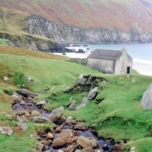 Hut site in Dooneen (iveragh By.)Hut site · 1421 yd
 KnocknadobarMountain / peak · 1584 yd
 Kells MountainMountain / peak · 1.4 mi
 Killinane Church (in ruins)Church · 2.8 mi
 Short Castle (Site of)Castle, unclassified · 2.8 mi
 Carhan Househouse · 3.2 mi
 Kells BeachBeach / strand · 3.4 mi
 Soft Tree-fernSoft Tree-fern · 3.4 mi
 Chilean wine palmChilean wine palm · 3.4 mi
 Sheep Dog TrainingHeritage attraction · 4.6 mi
 Laharn Bog LoopWalking route · 4.6 mi