What is recorded here
That is a wedge tomb, a chamber built of large stones where people placed their dead before history began writing itself down. It crouches on Aughinish, half-swallowed by a field wall, its capstone tilted as if still adjusting to the weight of centuries. The Burren keeps such places small and stubborn, hiding them in grass and stone while the sea passes untouched beside them.
Unobtrusively sited on a very gentle W-facing downslope c. 50m from the W shore of Aughinish island and obscured by a later E–W field wall which now forms part of its S side. Listed as an unlocated ‘Megalithic structure (possible)’ in the SMR (1992) but not listed in the RMP (1996). A small cist-like wedge tomb, open to the W and with an off-kilter rectangular capstone (L 1.85m E–W; Wth 1.5m; T 0.3m) supported by two smaller flagstones to the E (L 1m; H 0.8m; Wth 0.35m) and N (L 1.3m; H 0.7m; Wth 0.8m) and by a later wall along the S. Several small packing-stones are visible at the base of the N sidestone. The top of the E backstone and N sidestone appear dressed in the manner typical of many other Burren wedge tombs. The interior is partially filled with small stones cleared from the surrounding field.
Compiled by: Mary Tunney and Ros Ó Maoldúin
Date of upload: 15 December 2020
Wedge tomb, dating to the Late Neolithic or Early Bronze Age (c. 2500–1000 BC). Its location within the Burren landscape, known for its dense concentration of megalithic tombs, highlights its significance in understanding regional funerary practices and settlement patterns of the period.
The monument record does not grant public access. Check the route and ask the landowner before entering private land.
- What survives
- Recorded monument
Places near here
 Church (in Ruins)Church · 645 yd
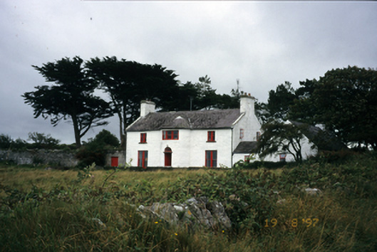 Mount Vernon Lodgehouse · 1003 yd
 The Russell GalleryGallery · 1166 yd
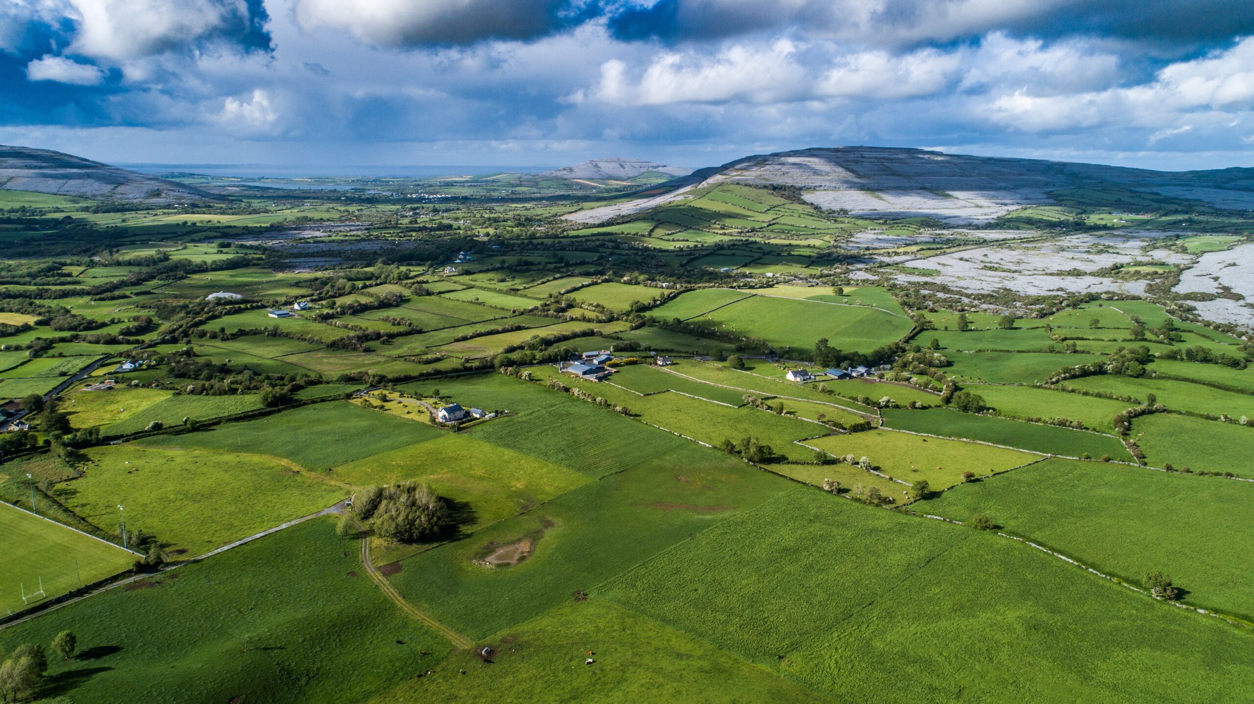 Parkmore FortFairy fort / ringfort · 1708 yd
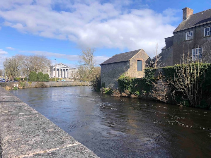 LissavorneedFairy fort / earthen ringfort · 1733 yd
 Muckinish PointHeadland · 1.5 mi
 Shanmuckinish CastleCastle, tower house · 1.9 mi
_-_geograph.org.uk_-_5527885.jpg?width=1280) IndicatedBawn · 1.9 mi
IndicatedBawn · 1.9 mi Saint Patrick's ChurchHeritage attraction · 2.1 mi
 Abbey HillMountain / peak · 2.4 mi
 Battle of Lough Raskabattle · 2.8 mi
 Corcomroe Abbey Geopark SiteVisitor information · 2.9 mi