What is recorded here
Water Safety Information - Killough Harbour is recorded as a visitor information in County Down. Its open map record supplies this location and any linked names or public references.
- Operator
- Newry, Mourne and Down District Council
Places near here
 Harbour and rope walk: Killough Harbour in KilloughHarbour and rope walk: Killough Harbour · 54 yd
 Water Safety Information - Killough HarbourVisitor information · 136 yd
 Water Safety Information - Killough Harbour (Castle)Visitor information · 179 yd
 Anchor BarPublic House · 323 yd
 Curlew PointHeadland · 863 yd
 CASTLE in KilbrideCASTLE · 1384 yd
 MODERN CHURCH ON EARLIER SITE in ArdglassMODERN CHURCH ON EARLIER SITE · 1.2 mi
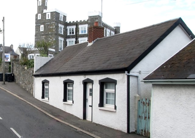 TOWER-HOUSE: KING'S CASTLE in ArdglassTOWER-HOUSE: KING'S CASTLE · 1.2 mi
 AP Cropmark- Possible enclosure or rath in BallyligAP Cropmark- Possible enclosure or rath · 1.5 mi
 Ardtole ChurchWalking route · 1.8 mi
 CHURCH (in ruins) & GRAVEYARD: ARDTOLE CHURCH; ST.NICHOLAS' in ArdtoleCHURCH (in ruins) & GRAVEYARD: ARDTOLE CHURCH; ST.NICHOLAS' · 1.9 mi
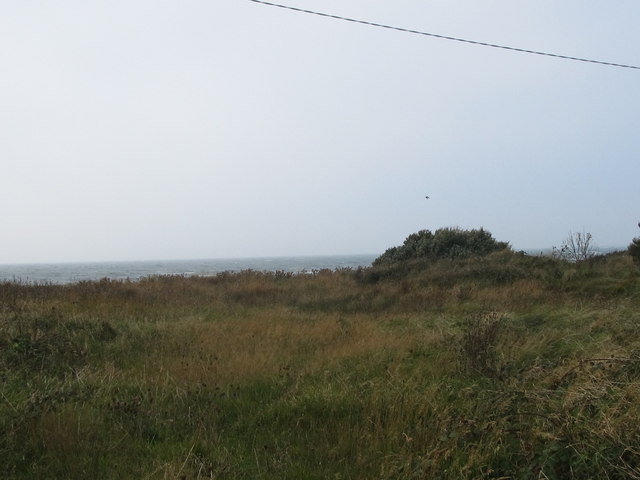 Rossglass BeachBeach / strand · 2.2 mi