What is recorded here
The 1659 Down Survey map of Kilcleagh Parish depicts a ‘Castle (WM035-010----) in repaire & Towne’ in ‘Ballenihone/Killemoyllchan’ which roughly corresponds with the present demesne lands of Ballynahown Court (NLI MS 723-4). On this map a castle and bawn (WM035-010001-) are depicted in the SW quadrant of Ballynahown townland which does not correspond with the area of woodland to the E of Ballynahown Court. A ‘mill in repair’ is also shown standing along a mill race located in close proximity to the castle and bawn. The terrier of the Down Survey map of Killcleagh parish states that in Ballynahown there was ‘a Castle and a large Bawne in repaire with a good Mill’ (NLI MS 723-4). In 1641 the lands of ‘Ballenihone Killemoyllchan’ amounting to 470 acres of land were in the possession of Catherin[e] Malone al[ia]s Pettit who was listed as an ‘Irish Papist’. The lands of Ballynahown were described in the Down Survey as consisting of a mixture of pasture, meadow, arable and rocky land. The precise location of the castle, bawn, mill and mill race has not been identified within the townland of Ballynahown.
Compiled by: Caimin O’Brien
Date of upload: 8 August 2014
The monument record does not grant public access. Check the route and ask the landowner before entering private land.
- What survives
- Recorded monument
Places near here
 OutlinedEnclosure · 182 yd
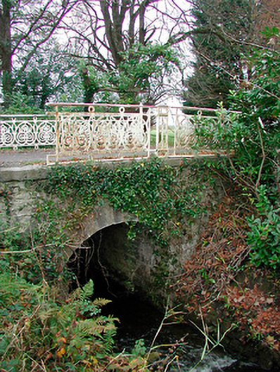 Ballynahown Courtbridge · 323 yd
 European ashEuropean ash · 372 yd
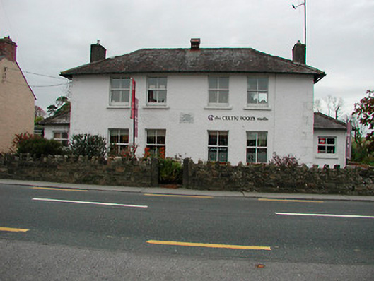 schoolschool · 465 yd
 IndicatedCastle, unclassified · 1723 yd
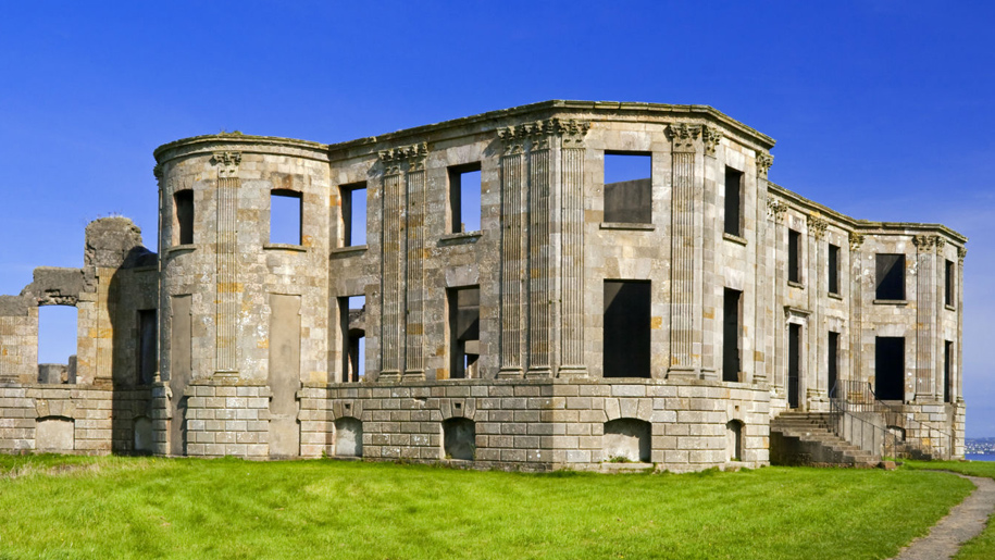 Enclosure in Doon DemesneEnclosure · 1.1 mi
 Esker CastleCastle, tower house · 1.7 mi
 Long IslandIsland · 3.1 mi
 Endrim HillMountain / peak · 3.7 mi
 Wren's IslandIslet · 4.7 mi
 ClonmacnoiseMuseum · 6.0 mi
 Athlone Music MuseumMuseum · 6.0 mi